Catharpin, Virginia
| Catharpin | |
|---|---|
| Unincorporated community | |
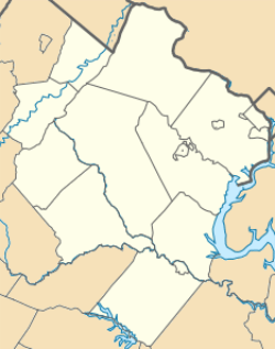 Catharpin 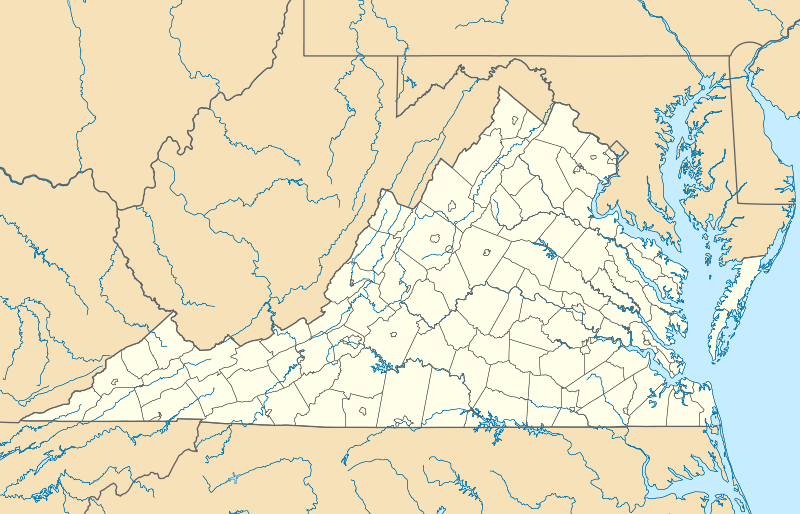 Catharpin  Catharpin Location within the state of Virginia | |
| Coordinates: 38°51′15″N 77°34′19″W / 38.85417°N 77.57194°WCoordinates: 38°51′15″N 77°34′19″W / 38.85417°N 77.57194°W | |
| Country | United States |
| State | Virginia |
| County | Prince William |
| Time zone | Eastern (EST) (UTC-5) |
| • Summer (DST) | EDT (UTC-4) |
Catharpin is an unincorporated community in Prince William County, Virginia, in the United States. Catharpin lies on State Route 234 to the northwest of Manassas National Battlefield Park.
Geography
Catharpin is characterized by rolling fields, wide meadows, and gravel/dirt roads, and many of the rural folk capitalize on the abundant land and have farms with livestock. It is not uncommon to see horses roaming on 50 acres (200,000 m2) of land.
Notable residents
- Ben Sanders, former MLB pitcher for the Philadelphia Phillies, Philadelphia Athletics & Louisville Colonels
References
Municipalities and communities of Prince William County, Virginia, United States | ||
|---|---|---|
| Towns | 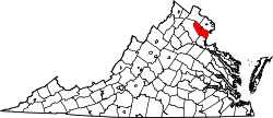 | |
| CDPs | ||
| Unincorporated communities | ||
| Footnotes | ‡This populated place also has portions in an adjacent county or counties | |
This article is issued from Wikipedia - version of the 6/9/2016. The text is available under the Creative Commons Attribution/Share Alike but additional terms may apply for the media files.