Clinton, California
Coordinates: 38°22′34″N 120°40′06″W / 38.37611°N 120.66833°W
| Clinton | |
|---|---|
| Unincorporated community | |
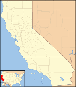 Clinton  Clinton Location in California | |
| Coordinates: 38°22′34″N 120°40′06″W / 38.37611°N 120.66833°W | |
| Country | United States |
| State | California |
| County | Amador County |
| Elevation[1] | 1,972 ft (601 m) |
| Population (2016) | |
| • Total | 45 |
| Reference no. | 37[2] |
Clinton (formerly, Sarahville, Sarahsville, and Lincoln)[3] is a small town in Amador County, California. It is located 2.5 miles (4.0 km) south of Pine Grove,[3] at an elevation of 1972 feet (601 m). Clinton was the center of a placer mining community during the 1850s and of quartz mining as late as the 1880s. This town once decided Amador County elections as its votes were always counted last. Clinton is registered as a California Historical Landmark.[2] A post office operated at Clinton from 1856 to 1859.[3] Nowadays, Clinton is a picturesque little town made up of a assemblage of homes and historic buildings around the center of town. It has a population of about 45.
References
- ↑ "Clinton". Geographic Names Information System. United States Geological Survey.
- 1 2 "Clinton". Office of Historic Preservation, California State Parks. Retrieved 2012-03-30.
- 1 2 3 Durham, David L. (1998). California's Geographic Names: A Gazetteer of Historic and Modern Names of the State. Clovis, Calif.: Word Dancer Press. p. 467. ISBN 1-884995-14-4.
Municipalities and communities of Amador County, California, United States | ||
|---|---|---|
| Cities | 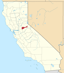 | |
| CDPs | ||
| Unincorporated communities | ||
| Ghost towns |
| |
| Footnotes | ‡This CDP also has portions in an adjacent county or counties | |