Comet Vale, Western Australia
| Comet Vale Western Australia | |
|---|---|
 Comet Vale | |
| Coordinates | 29°56′31″S 121°07′34″E / 29.942°S 121.126°ECoordinates: 29°56′31″S 121°07′34″E / 29.942°S 121.126°E |
| Established | 1916 |
| Postcode(s) | 6438 |
| Elevation | 386 m (1,266 ft) |
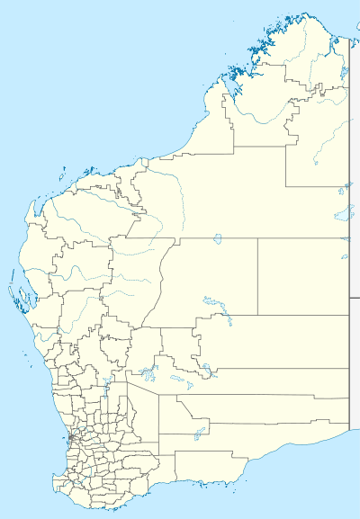
| Location |
|
| LGA(s) | Shire of Menzies |
| State electorate(s) | Electoral district of Kalgoorlie |
| Federal Division(s) | O'Connor |
Comet Vale is an abandoned town in Western Australia located in the Goldfield region of Western Australia located between Kalgoorlie and Laverton on the Goldfields Highway.
The town site was named after a comet that could be seen at about the time gold was discovered in the area. By 1895 the town had a population of approximately 500 and it was gazetted in 1916.[1]
A prospector, Dan Baker is credited with the initial gold discovery. Two mines were in production in 1900 named Lady Margaret and Long tunnel.[2] More mines opened later including Sand Queen and Happy Jack both of which continued to operate after World War I. A police station had been established in the town and was destroyed in 1916. A coach service used to service the town coming from Goongarrie and continuing to the Ularring district.
References
- ↑ Western Australian Land Information Authority. "History of country town names – C". Retrieved 15 February 2011.
- ↑ "Morowa Historical Society" (PDF). 2009. Retrieved 15 February 2011.