Linden, Western Australia
| Linden Western Australia | |
|---|---|
 Linden | |
| Coordinates | 29°18′00″S 122°25′59″E / 29.3°S 122.433°ECoordinates: 29°18′00″S 122°25′59″E / 29.3°S 122.433°E |
| Established | 1897 |
| Postcode(s) | 6438 |
| Elevation | 434 m (1,424 ft) |
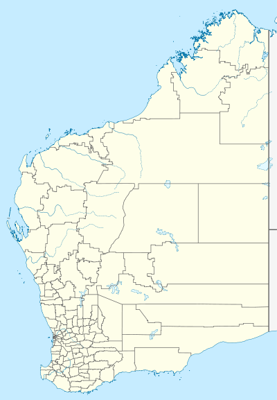
| Location | |
| LGA(s) | Shire of Menzies |
| State electorate(s) | Kalgoorlie |
| Federal Division(s) | O'Connor |
Linden is an abandoned town located in the Goldfields-Esperance region in Western Australia. It is found between Kalgoorlie and Laverton and on the southern edge of Lake Carey.
In the mid-1890s gold was discovered in the area and in late 1895 four claims were pegged and registered. One claim was by Green, McClellan and the Pyke brothers, another by Linden, Hartigan and Burgess, and the last two by Goodrich, Hayward and Haunort. More claims followed in 1896. Later in 1896 the Mining Warden, Mr Owen, suggested that a townsite be declared. Owen suggested the name be Griffithston but the Lands Department instead chose Linden. Despite this only six men were on the field at the time. The town was surveyed and gazetted in 1897.[1] The population had reduced to one by 1906 but the following year increased to 70 and by 1913 another influx occurred.[2] In 1907 a windmill was constructed at the town's only well in 1907.
The town is named after Mount Linden which is situated to the south of the town. Linden is thought to be the name of a prospector who worked in the area.
References
- ↑ Western Australian Land Information Authority. "History of country town names – L". Retrieved 8 May 2011.
- ↑ "Morawa District Historical society" (PDF). 2009. Retrieved 8 May 2011.