Dhola, Gujarat
| Dhola | |
|---|---|
| city | |
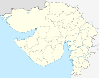 Dhola  Dhola Location in Gujarat, India | |
| Coordinates: 21°53′N 71°47′E / 21.88°N 71.78°ECoordinates: 21°53′N 71°47′E / 21.88°N 71.78°E | |
| Country |
|
| State | Gujarat |
| District | Bhavnagar |
| Government | |
| • Body | Nagar Palika |
| Elevation | 56 m (184 ft) |
| Population (2001) | |
| • Total | 8,049 |
| Languages | |
| • Official | Gujarati, Hindi |
| Time zone | IST (UTC+5:30) |
| Vehicle registration | GJ |
| Website |
gujaratindia |
- For homonyms, see Dhola
Dhola is a census town and former petty Rajput princely state in Bhavnagar district, in the state of Gujarat, western India.
History
| Princely state |
|---|
| Individual residencies |
| Agencies |
|
| Lists |
|
Dohla was one of many non-salute states in Gohelwar prant on Saurashtra peninsula, comprising only the village. Under the British raj, the colonial Eastern Kathiawar Agency was in charge of it.
In 1901 it comprised only the village, with a population of 261, yielding 1,800 Rupees state revenue (1903-4, all from land), paying 384 Rupees tribute to the Gaikwar Baroda State and Junagadh State. [1]
Geography
Dhola is located at 21°53′N 71°47′E / 21.88°N 71.78°E.[2] It has an average elevation of 56 metres (183 feet).
Dhola was a Railway Junction in Bhavnagar State Railway.
Demographics
As of 2001 India census,[3] Dhola had a population of 8049.
- Males constitute 52% of the population and females 48%.
- Dhola has an average literacy rate of 67%, higher than the national average of 59.5%: male literacy is 75% and, female literacy is 58%.
- In Dhola, 14% of the population is under 6 years of age.
References
- ↑ http://dsal.uchicago.edu/reference/gazetteer/pager.html?objectid=DS405.1.I34_V15_171.gif Imperial Gazetteer
- ↑ Falling Rain Genomics, Inc - Dhola
- ↑ "Census of India 2001: Data from the 2001 Census, including cities, villages and towns (Provisional)". Census Commission of India. Archived from the original on 2004-06-16. Retrieved 2008-11-01.