Elm Point, Illinois
| Elm Point, Illinois | |
|---|---|
| Former settlement | |
 Elm Point, Illinois | |
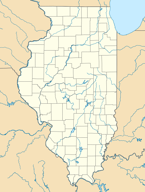
| Coordinates: 39°00′21″N 89°28′25″W / 39.00583°N 89.47361°WCoordinates: 39°00′21″N 89°28′25″W / 39.00583°N 89.47361°W | |
| Country | United States |
| State | Illinois |
| County | Bond |
| Elevation | 607 ft (185 m) |
| GNIS feature ID | 1785369 |
| [1] | |
Elm Point is a former settlement in Bond County, Illinois, United States. Elm Point was south of Donnellson. Elm Point appeared on maps as late as 1876. The townsite lies on Illinois State Route 127, the dividing line between Lagrange Township (east) and Shoal Creek Township (west).
References
Municipalities and communities of Bond County, Illinois, United States | ||
|---|---|---|
| City | ||
| Villages | ||
| Townships | ||
| Unincorporated communities | ||
| Ghost town | ||
| Footnotes | ‡This populated place also has portions in an adjacent county or counties | |
This article is issued from Wikipedia - version of the 9/3/2016. The text is available under the Creative Commons Attribution/Share Alike but additional terms may apply for the media files.