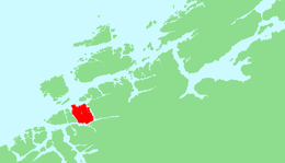
Ertvågsøy
 Location in Møre og Romsdal | |
| Geography | |
|---|---|
| Location | Nordmøre, Norway |
| Coordinates | 63°12′N 8°25′E / 63.200°N 8.417°ECoordinates: 63°12′N 8°25′E / 63.200°N 8.417°E |
| Area | 139.7 km2 (53.9 sq mi) |
| Length | 15 km (9.3 mi) |
| Width | 12 km (7.5 mi) |
| Highest elevation | 694 m (2,277 ft) |
| Highest point | Korsbekkfjellet |
| Administration | |
| County | Møre og Romsdal |
| Municipality | Aure |
Ertvågsøy or Ertvågøya is an island in the municipality of Aure in Møre og Romsdal county, Norway. The island has an area of 139.7 square kilometres (53.9 sq mi) and the highest point is the 694-metre (2,277 ft) tall Korsbekkfjellet. The small islands of Rottøya and Ruøya lie to the east of the island and the islands of Solskjel and Stabblandet lie to the west. The island is connected to the mainland by the Mjosund Bridge and Aursund Bridge.[1]
References
- ↑ Store norske leksikon. "Ertvågsøya" (in Norwegian). Retrieved 2010-12-11.
This article is issued from Wikipedia - version of the 11/18/2016. The text is available under the Creative Commons Attribution/Share Alike but additional terms may apply for the media files.