Guna, India
This article is about the municipality in Madhya Pradesh, India. For its namesake district, see Guna District. For the Sanskrit word guna (guṇa), see Guna.
| Guna गुना | |
|---|---|
| city | |
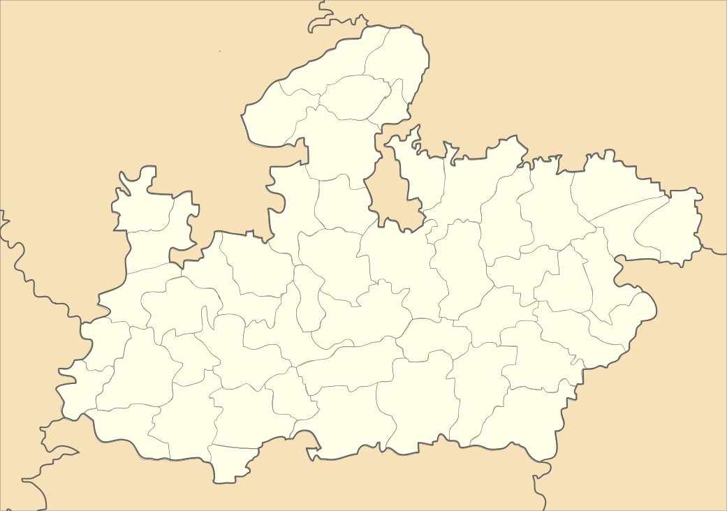 Guna  Guna Location in Madhya Pradesh, India | |
| Coordinates: 24°39′N 77°19′E / 24.65°N 77.32°ECoordinates: 24°39′N 77°19′E / 24.65°N 77.32°E | |
| Country |
|
| State | Madhya Pradesh |
| District | Guna |
| Area | |
| • Total | 84 km2 (32 sq mi) |
| Elevation | 474 m (1,555 ft) |
| Population (2011) | |
| • Total | 180,978 |
| • Density | 2,155/km2 (5,580/sq mi) |
| Languages | |
| • Official | Hindi, English |
| Time zone | IST (UTC+5:30) |
| PIN | 473001 |
| Telephone code | 91 7542 |
| ISO 3166 code | IN-MP |
| Vehicle registration | MP - 08 |
| Sex ratio | 910 ♂/♀ |
Guna is a city and a municipality in Guna district in the Indian state of Madhya Pradesh. It is the administrative headquarters of Guna District and is located on the banks of Parbati river.
Religious places
- Hanuman Mandir Cantt.
 Hanuman Mandir ,Cantt Guna
 - Panchmukhi Hanuman Ashram
- Kedarnath
- Hanuman Tekri
- Bees Bhuja Devi
- Christ The King Church
- Hanuman Mandir AB Road
- Sai Mandir,AB Road
- Bude Balaji
- Nihaal Devi
Geography
Guna is located at 24°39′N 77°19′E / 24.65°N 77.32°E.[1] It has an average elevation of 474 metres (1555 ft).
Demographics
As of 2011 India census,[2] Guna has a population of 180,978. Males constitute 52.29% of the population and females 47.71%. Guna has an average literacy rate of 81.7%, In Guna, 13% of the population is under 6 years of age.
See also: List of cities in Madhya Pradesh
References
- ↑ Falling Rain Genomics, Inc - Guna
- ↑ "Census of India 2001: Data from the 2001 Census, including cities, villages and towns (Provisional)". Census Commission of India. Archived from the original on 2004-06-16. Retrieved 2008-11-01.
External links
This article is issued from Wikipedia - version of the 10/23/2016. The text is available under the Creative Commons Attribution/Share Alike but additional terms may apply for the media files.