Harmon Valley, Alberta
| Harmon Valley | |
|---|---|
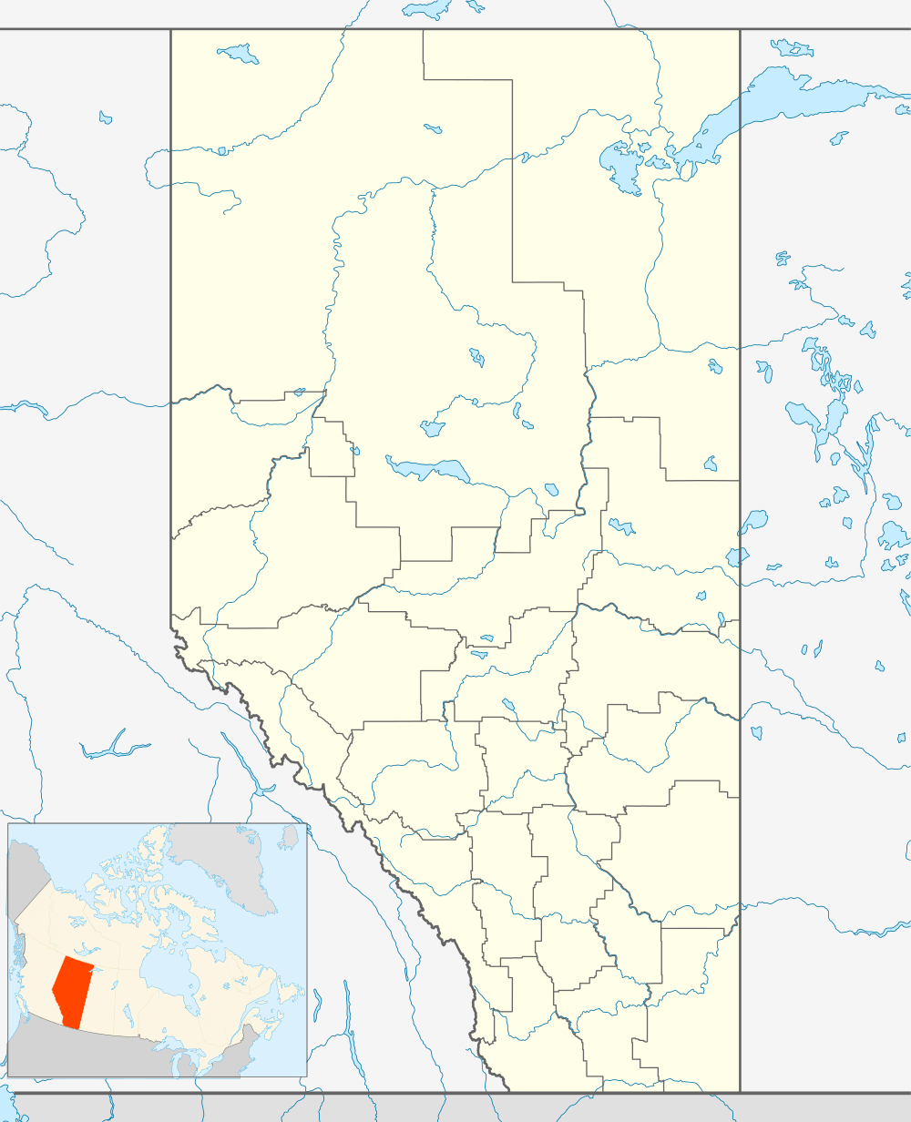 Location of Harmon Valley in Alberta | |
| Coordinates: 56°07′00″N 116°50′00″W / 56.11666°N 116.83329°WCoordinates: 56°07′00″N 116°50′00″W / 56.11666°N 116.83329°W | |
| Country |
|
| Province |
|
| Census division | No. 17 |
| Municipal district | Northern Sunrise County |
| Government | |
| • Type | Unincorporated |
| • Governing body | Northern Sunrise County Council |
| Elevation | 635 m (2,083 ft) |
| Time zone | MST (UTC-7) |
Harmon Valley is an unincorporated community in northern Alberta, Canada.
The community was named for Daniel Harmon, a fur trader.[1]
The Harmon Valley Fair Grounds is hosts to the Harmon Valley Quad Rally.[2]
Administration
The community is located in census division No. 17. It is administered by Northern Sunrise County, and is represented by the Ward 1 - Harmon Valley / Reno councillor.[3]
Geography
The community is located in the Heart River valley, approximately 25 km (16 mi) east of the Village of Nampa. It has an elevation of 635 meters (2,083 ft).
The Harmon Member of the Peace River Formation, a stratigraphic unit of the Western Canadian Sedimentary Basin is named for the community.
See also
References
- ↑ ePodunk. "Harmon Valley, Alberta". Retrieved 2010-10-17.
- ↑ "Harmon Valley Quad Rally". Retrieved 2010-10-17.
- ↑ Northern Sunrise County. "Reeve and Council". Retrieved 2010-10-17.
 |
St. Isidore | Three Creeks | Little Buffalo | |
| Nampa | |
Atikameg | ||
| ||||
| | ||||
| Reno | McLennan | Peavine Metis Settlement |
| Subdivisions | |
|---|---|
| Communities | |
| Cities and urban service areas | |
| |
This article is issued from Wikipedia - version of the 8/25/2014. The text is available under the Creative Commons Attribution/Share Alike but additional terms may apply for the media files.