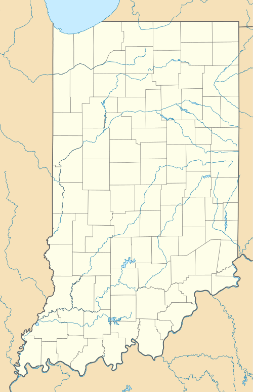
Homer, Indiana
| Homer, Indiana | |
|---|---|
| Unincorporated community | |
 Homer, Indiana  Homer, Indiana | |
| Coordinates: 39°34′41″N 85°34′41″W / 39.57806°N 85.57806°WCoordinates: 39°34′41″N 85°34′41″W / 39.57806°N 85.57806°W | |
| Country | United States |
| State | Indiana |
| County | Rush |
| Township | Walker |
| Elevation | 935 ft (285 m) |
| ZIP code | 46146 |
| GNIS feature ID | 436372[1] |
Homer (also Goddard or Slabtown) is an unincorporated community in central Walker Township, Rush County, Indiana, United States. Although Homer is unincorporated, it has a post office, with the ZIP code of 46146.[2]
Geography
It lies along State Road 44, west-southwest of the city of Rushville, the county seat of Rush County.[3] Its elevation is 935 feet (285 m), and it is located at 39°34′41″N 85°34′41″W / 39.57806°N 85.57806°W (39.5781027, -85.5780295).[4]
History
Homer was originally called Slabtown, and under the latter name had its start around 1850 when a sawmill was established at that point.[5]
Notable people
- Marjorie Pebworth, Illinois legislator, was born in Homer.[6]
References
- ↑ "Homer, Indiana". Geographic Names Information System. United States Geological Survey. Retrieved 2009-10-17.
- ↑ Zip Code Lookup
- ↑ DeLorme. Indiana Atlas & Gazetteer, 3rd ed. Yarmouth: DeLorme, 2004, p. 46. ISBN 0-89933-319-2.
- ↑ Geographic Names Information System Feature Detail Report, Geographic Names Information System, 1979-02-14. Accessed 2008-06-01.
- ↑ History of Rush County, Indiana: From the Earliest Time to the Present, with Biographical Sketches, Notes, Etc. Eastern Indiana Publishing Company. 1888. p. 669.
- ↑ 'Illinois Blue Book 1967-1968,' Biographical Sketch of Marjorie Pebworth, pg. 203
This article is issued from Wikipedia - version of the 10/15/2016. The text is available under the Creative Commons Attribution/Share Alike but additional terms may apply for the media files.