Huambo Airport
| Huambo Airport | |||||||||||
|---|---|---|---|---|---|---|---|---|---|---|---|
| IATA: none – ICAO: FNNL | |||||||||||
| Summary | |||||||||||
| Airport type | Public | ||||||||||
| Serves | Huambo | ||||||||||
| Location | Angola | ||||||||||
| Elevation AMSL | 5,443 ft / 1,659 m | ||||||||||
| Coordinates | 12°47′10.7″S 15°46′28.3″E / 12.786306°S 15.774528°ECoordinates: 12°47′10.7″S 15°46′28.3″E / 12.786306°S 15.774528°E | ||||||||||
| Map | |||||||||||
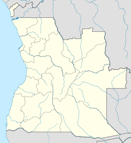 FNNL Location of Huambo Airport in Angola | |||||||||||
| Runways | |||||||||||
| |||||||||||
|
Source: Landings.com[1] | |||||||||||
Huambo Airport (ICAO: FNNL) is a public use airport near the eastern edge of the city of Huambo in Huambo Province, Angola.
In a May 2016 aerial image,[2] the coordinates show a narrow dirt road over-arched in several places by trees.
The full-services Albano Machado Airport (IATA: NOV, ICAO: FNHU) is 2,500 metres (8,200 ft) south of the FNNL location.
Accidents and incidents
On 19 January 2008, a Gira Globo Aeronáutica Beechcraft B200 Super King Air on approach to Huambo Airport crashed on a mountain near Bailundo, killing all 13 people on board.[3]
See also
 Angola portal
 Aviation portal
- List of airports in Angola
- Transport in Angola
References
- ↑ "FNNL @ aerobaticsweb.org". Landings.com. Retrieved 31 July 2013.
- ↑ Google Maps, CNES/Astrium
- ↑ Accident report at Aviation Safety Network
This article is issued from Wikipedia - version of the 6/29/2016. The text is available under the Creative Commons Attribution/Share Alike but additional terms may apply for the media files.