Hungry Hill
| Hungry Hill | |
|---|---|
| Cnoc Daod | |
 | |
| Highest point | |
| Elevation | 685 m (2,247 ft) [1] |
| Listing | Marilyn, Hewitt |
| Coordinates | 51°41′9″N 9°47′31″W / 51.68583°N 9.79194°W |
| Geography | |
 Hungry Hill | |
| Parent range | Caha Mountains |
| OSI/OSNI grid | V761497 |
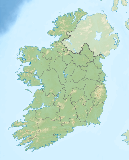
Hungry Hill (Irish: Cnoc Daod) is a mountain on the Beara Peninsula, County Cork, in the Republic of Ireland.
Etymology
The first part of the Irish name Cnoc Daod means "hill". The second part may be a dialectal variant of déad, meaning "tooth", "set of teeth" or "jaw".[2] It has been anglicized as Knockdhead and Knockday.[3]
Geography

With a height of 685 metres (2,247 ft) it is the highest peak of the Caha Mountains and the 130th highest in Ireland.[1] Hungry Hill lies on the border of counties Cork and Kerry, although the peak is on the Cork side.
There is a cairn at the summit and a number of standing stones to the south and east of the mountain. At its eastern foot are two lakes — Coomadayallig and Coomarkane — which both drain into the Mare's Tail waterfall. This is the highest waterfall in Ireland and the UK.
In popular culture
Hungry Hill (novel) is the title and setting of a 1943 novel by English author, Daphne du Maurier. Her descriptions of the mountain and environs are markedly similar to the actual location. In the novel, the name of the mountain is metaphoric, as during the course of the novel the mountain seems to ‘swallow’ successive generations of the Broderick family, who own and mine the mountain. The story is reputedly based on the Irish ancestors of Daphne du Maurier’s friend Christopher Puxley.[4]
See also
References
- 1 2 "Hungry Hill". MountainViews.ie. Retrieved May 20, 2007.
- ↑ Tempan, Paul. Irish Hill and Mountain Names. MountainViews.ie.
- ↑ Placenames Database of Ireland (see archival records)
- ↑ http://www.dumaurier.org/reviews-hungry.html
![]() Media related to Hungry Hill, County Cork at Wikimedia Commons
Media related to Hungry Hill, County Cork at Wikimedia Commons
Lists of Marilyns | |
|---|---|