Jane Brook, Western Australia
| Jane Brook Perth, Western Australia | |||||||||||||
|---|---|---|---|---|---|---|---|---|---|---|---|---|---|
 Jane Brook | |||||||||||||
| Coordinates | 31°51′36″S 116°03′40″E / 31.86°S 116.061°ECoordinates: 31°51′36″S 116°03′40″E / 31.86°S 116.061°E | ||||||||||||
| Population | 3,118 (2006 census)[1] | ||||||||||||
| Postcode(s) | 6056 | ||||||||||||
| LGA(s) | City of Swan | ||||||||||||
| State electorate(s) | Midland | ||||||||||||
| Federal Division(s) | Pearce | ||||||||||||
| |||||||||||||
Jane Brook is the name of a watercourse and the valley that passes through the Darling Scarp, and which was utilised for the Eastern Railway and subsequently a central part of the John Forrest National Park.
Suburb
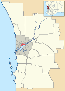
It is also the name of the middle class suburb, situated approximately 25 kilometers east of the capital city Perth, Western Australia. It is a suburb within the City of Swan.
Local Attractions
There are a number of fine wineries located near Jane Brook, producing premium hand-crafted wines. Most have excellent restaurants serving lunch and dinner. The nearest major shopping precinct is located in Midland, approximately 5 km to the west.
References
- ↑ Australian Bureau of Statistics (25 October 2007). "Jane Brook (State Suburb)". 2006 Census QuickStats. Retrieved 2008-10-05.
This article is issued from Wikipedia - version of the 3/2/2014. The text is available under the Creative Commons Attribution/Share Alike but additional terms may apply for the media files.