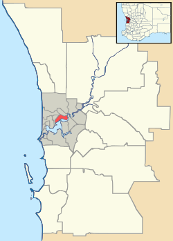
Red Hill, Western Australia
| Red Hill Perth, Western Australia | |||||||||||||
|---|---|---|---|---|---|---|---|---|---|---|---|---|---|
 Red Hill | |||||||||||||
| Coordinates | 31°50′56″S 116°04′05″E / 31.849°S 116.068°ECoordinates: 31°50′56″S 116°04′05″E / 31.849°S 116.068°E | ||||||||||||
| Population | 98 (2011)[1] | ||||||||||||
| • Density | 1.996/km2 (5.17/sq mi) | ||||||||||||
| Postcode(s) | 6056 | ||||||||||||
| Area | 49.1 km2 (19.0 sq mi) | ||||||||||||
| Location | 26 km (16 mi) NE of Perth | ||||||||||||
| LGA(s) | City of Swan | ||||||||||||
| State electorate(s) | Swan Hills | ||||||||||||
| Federal Division(s) | Division of Pearce | ||||||||||||
| |||||||||||||
Red Hill is a suburb of Perth, Western Australia. It has Toodyay Road pass through it on the way up the Darling Scarp. It is in the City of Swan local government area. At the 2011 Australian Census the suburb recorded a population of 98.[1]
Its most notable feature is a regional landfill, Red Hill Waste Management Facility (managed by the Eastern Metropolitan Regional Council).
References
- 1 2 Australian Bureau of Statistics (31 October 2012). "Red Hill (WA, State Suburb)". 2011 Census QuickStats. Retrieved 20 March 2013.
This article is issued from Wikipedia - version of the 3/2/2014. The text is available under the Creative Commons Attribution/Share Alike but additional terms may apply for the media files.