Kanye, Botswana
| Kanye | |
|---|---|
| Town | |
 Kanye | |
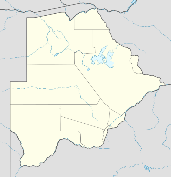
| Coordinates: 24°59′S 25°21′E / 24.983°S 25.350°ECoordinates: 24°59′S 25°21′E / 24.983°S 25.350°E | |
| Country |
|
| District | Southern District |
| Sub-district | Kanye |
| Elevation | 1,306 m (4,288 ft) |
| Population (2011)[1] | |
| • Total | 45,196 |
| Time zone | Central Africa Time (UTC+2) |
| Geographical area code[2] | 54X |
| Climate | BSh |
Kanye is a town in southern Botswana, located 83 kilometres (52 mi) south-west of the capital, Gaborone.[3] It is the administrative centre of the Southern District, and had a population of 45,196 at the 2011 census, making it the eighth-largest town in the country.[4] Kanye is the traditional capital of the Ngwaketse tribe, who first settled in the area in the 1790s. The town is the longest continuously occupied tribal capital in the country.[5]
Geography
Kanye lies on a series of hills which form a natural protective barrier against the sands of the Kalahari Desert. The hills extend into the Bushveld region of South Africa.[6] There is a deep natural gorge (called Kanye Gorge) close to the town, which was reputedly used as a hiding place for villagers during the various conflicts of the 19th century.[7]
History
Kanye was established in the 1790s by Makaba, the paramount chief of the Ngwaketse (a tribe of the larger Tswana people). He moved his tribe to Kanye after losing a battle to the nearby Kwena tribe, fortifying an existing hill (Kanye Hill) with stone walls. In about 1798, Kanye was attacked by an alliance of Rolong and Griquas, but the Ngwaketse were able to repulse the attack and kill their opponents' leader.[8] European traders and hunters began visiting Kanye in the early 19th century, but it was not until the reign of Gaseitsiwe (who became chief of the Ngwaketse in 1845) that they began to actually settle in the area.[9] In 1852, Joseph McCabe, a British trader, crossed the Kalahari Desert from south to north, beginning in Kanye and ending at Lake Ngami.[10]
In June 1854, Robert Moffat passed through Kanye on his way north to the lands of the Matabele. He and his party found the town "completely destroyed as a result of the wars with the Boers", with the Ngwaketse living in the ruins.[11] By the 1860s, Kanye had been rebuilt and was prospering as a trading centre for ivory, animal skins, and ostrich feathers.[12] Although Kanye had received semi-regular visits from missionaries, a formal mission was not established until 1871, when the London Missionary Society sent a representative.[9] In 1887, following the establishment of the Bechuanaland Protectorate in 1885, a small British-run police station was established.[13] In 1899, during the Second Boer War, the Ngwaketse allied with the British, with Kanye at one stage hosting a 500-strong column under the command of Colonel Herbert Plumer.[14] In the early 20th century, Kanye became the first village in the Bechuanaland Protectorate to introduce irrigation projects and public standpipes. An asbestos mine opened in the 1920s.[12]
Government
Kanye and the surrounding area are divided into two parliamentary constituencies, Kanye North and Kanye South, both of which elect a single member to the National Assembly. At the 2014 general election, Kanye North was won by Patrick Ralotsia of the Botswana Democratic Party and Kanye South was won by Abram Kesupile of the Umbrella for Democratic Change.[15]
Transportation
The main method of transport in and out of Kanye is via the highway system. Kanye is directly connected to Gaborone through the A10 road, and the A2 highway also passes through the town. The A2 forms part of the Trans-Kalahari Corridor, linking Walvis Bay, Namibia, with Pretoria, South Africa.[16] Kanye is additionally served by Kanye Airport (ICAO: FBKY), which is one of only two airports in Southern District (along with the private Jwaneng Airport, which services the Jwaneng diamond mine).[17]
Notable people
- Quett Masire, who was President of Botswana from 1980 to 1998, was born in Kanye.[18]
- Archibald Mogwe, who was Foreign Minister of Botswana from 1974 to 1985, was born in Kanye.[19]
- Banjo Mosele, a singer-songwriter who has toured with Hugh Masekela, was born in Kanye.[20]
- 'Makabelo Mosothoane, a cabinet minister in Lesotho, was born in Kanye.[21]
- Barolong Seboni, a poet and columnist for the Botswana Guardian, was born in Kanye.[22]
References
- ↑ "2011 Census". Archived from the original on 11 January 2013.
- ↑ Botswana Telecommunications Authority (11 September 2009), "Botswana (country code +267)", National Numbering Plans, International Telecommunication Union, archived from the original (DOC) on 27 December 2009, retrieved 27 December 2009
- ↑ Kanye, Botswana Beckons. Retrieved 16 October 2016.
- ↑ 2011 Population & Housing Census Preliminary Results Brief, Census Office of Botswana. Retrieved 16 October 2016.
- ↑ Kanye, Botswana Tourism. Retrieved 16 October 2016.
- ↑ Sillery, Anthony (1952). The Bechualand Protectorate. Oxford University Press. p. 196. ISBN 0313239703.
- ↑ Places > Southern > Kanye > THE KANYE GORGE, Botswana Beckons. Retrieved 15 October 2016.
- ↑ Sillery, p. 133.
- 1 2 Sillery, p. 138.
- ↑ Sillery, p. 26.
- ↑ Sillery, p. 31.
- 1 2 Morton, Fred; Ramsay, Jeff; Mgadla, Part Themba (2008). Historical Dictionary of Botswana. Scarecrow Press. p. 161. ISBN 0810864045.
- ↑ Sillery, p. 139.
- ↑ Sillery, p. 94.
- ↑ PARLIAMENTARY RESULTS, Elections Botswana. Retrieved 15 October 2016.
- ↑ Map of Botswana, Siyabona Africa. Retrieved 16 October 2016.
- ↑ Location codes 1-2 of 2 in Southern, Botswana, Great Circle Mapper. Retrieved 15 October 2016.
- ↑ "Masire, Africa's statesman of the year", PanaPress, 3 November 2001. Retrieved 15 October 2016.
- ↑ "TIGER KLOOF NAMES BUILDINGS AFTER MASIRE, CHIEPE & MOGWE", Sunday Standard, 21 October 2015. Retrieved 15 October 2016.
- ↑ "Banjo Mosele thrills Francistown fans", Mmegionline, 30 April 2012. Retrieved 15 October 2016.
- ↑ Rosenberg, Scott; Weisfelder, Richard (2013). Historical Dictionary of Lesotho. Scarecrow Press. p. 386. ISBN 0810879824.
- ↑ Barolong Seboni's CV, BAROLONG SEBONI. Retrieved 15 October 2016.
Capital, District | ||
 | ||
Italics indicates national capital. | ||