Kutakan
Coordinates: 40°16′04″N 45°50′21″E / 40.26778°N 45.83917°E
| Kutakan Կուտական | |
|---|---|
 Kutakan | |
| Coordinates: 40°16′04″N 45°50′21″E / 40.26778°N 45.83917°E | |
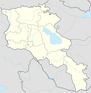
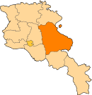
| Country | Armenia |
| Marz (Province) | Gegharkunik |
| Population (2001) | |
| • Total | 254 |
| Time zone | (UTC+4) |
| • Summer (DST) | (UTC) |
Kutakan (Armenian: Կուտական), is a village in the Gegharkunik Province of Armenia. It has been known as Sultan Ali Kishlak and Gyunashli, and until 1968 as Janahmed. The Kutakan community also includes the nearby village of Zariver.[1]
References
- Kutakan at GEOnet Names Server
- Report of the results of the 2001 Armenian Census, National Statistical Service of the Republic of Armenia
- Brady Kiesling, Rediscovering Armenia, p. 48; original archived at Archive.org, and current version online on Armeniapedia.org.
This article is issued from Wikipedia - version of the 12/2/2015. The text is available under the Creative Commons Attribution/Share Alike but additional terms may apply for the media files.