Leaghur State Park
| Leaghur State Park Victoria | |
|---|---|
|
IUCN category II (national park) | |
 Leaghur State Park | |
| Nearest town or city | Kerang |
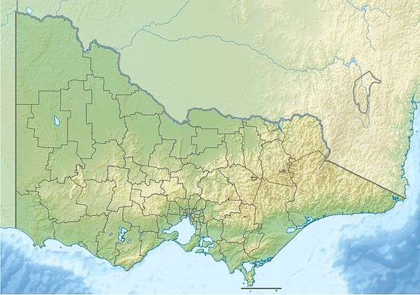
| Coordinates | 35°55′S 143°48′E / 35.917°S 143.800°ECoordinates: 35°55′S 143°48′E / 35.917°S 143.800°E |
| Established | 1992 |
| Area | 20.22 km2 (7.8 sq mi) |
| Managing authorities | Parks Victoria |
| Website | Leaghur State Park |
| See also | Protected areas of Victoria |
Leaghur State Park is a 2,022-hectare (5,000-acre) state park approximately 25 kilometres (16 mi) south-west of Kerang, in Victoria, Australia. The Park protects some of the most significant Black Box (Eucalyptus largiflorens) wetlands and woodlands in Victoria. The Park is part of the Loddon River floodplain and is frequently flooded, creating ephemeral wetlands and different age classes in the Black Box stands. It was opened in 1992.[1][2]
References
- ↑ Leaghur State Park, Parks Victoria, retrieved 2012-01-25
- ↑ "Leaghur State Park visitor guide" (PDF), Park Notes, Parks Victoria, December 2010, retrieved 2012-01-25
| Current |
| |
|---|---|---|
| Former |
| |
This article is issued from Wikipedia - version of the 4/4/2016. The text is available under the Creative Commons Attribution/Share Alike but additional terms may apply for the media files.