Mount Samaria State Park
| Mount Samaria State Park Victoria | |
|---|---|
|
IUCN category II (national park) | |
 Mount Samaria State Park | |
| Nearest town or city | Mansfield |
| Coordinates | 36°53′15″S 146°03′57″E / 36.8876°S 146.0657°ECoordinates: 36°53′15″S 146°03′57″E / 36.8876°S 146.0657°E |
| Established | 1979 |
| Area | 76 km2 (29.3 sq mi) |
| Managing authorities | Parks Victoria |
| Website | Mount Samaria State Park |
| See also | Protected areas of Victoria |
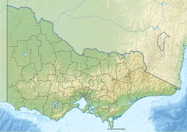
Mount Samaria State Park is a 7,600-hectare (19,000-acre) park situated approximately 20 km north of Mansfield in the state of Victoria, Australia.[1][2] The park is bounded on the western side by the Broken River and Lake Nillahcootie.
See also
References
- ↑ "Mount Samaria State Park", Official website, Parks Victoria, retrieved 2012-01-29
- ↑ Collaborative Australian Protected Area Database CAPAD08, Department of Sustainability, Environment, Water, Populations and Communities, Commonwealth of Australia, 2008, retrieved 2012-01-29
| Current |
| |
|---|---|---|
| Former |
| |
This article is issued from Wikipedia - version of the 4/4/2016. The text is available under the Creative Commons Attribution/Share Alike but additional terms may apply for the media files.