Lerderderg State Park
| Lerderderg State Park Victoria | |
|---|---|
|
IUCN category II (national park) | |
 Lerderderg State Park | |
| Nearest town or city | Blackwood |
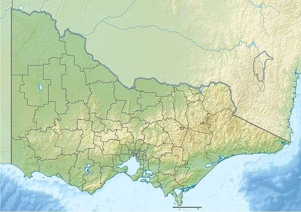
| Coordinates | 37°32′S 144°24′E / 37.533°S 144.400°ECoordinates: 37°32′S 144°24′E / 37.533°S 144.400°E |
| Area | 142.5 km2 (55.0 sq mi) |
| Managing authorities | Parks Victoria |
| Website | Lerderderg State Park |
| See also | Protected areas of Victoria |
Lerderderg State Park (incorporating the former Pyrete State Forest) is a 14,250-hectare park located between Bacchus Marsh and Blackwood, an hour's drive from Melbourne, Australia.[1][2] There are several maintained tracks for walking through the park and camping is allowed.
The park is named for the Lerderderg River which has cut the 300 metre deep Lerderderg Gorge through sandstone and slate, almost bisecting the park.[3]
Parks Victoria maintains six designated walks: three short walks of 3.5 km or less; Blackwood-O'Briens Crossing and return (22 km); O'Briens Crossing-Cowan Track loop (14 km); and the overnight walk O'Briens Crossing to Mackenzies Flat (20 km).[1]
In addition, one leg of the Great Dividing Trail, the Lerderderg Track, passes through the park, entering from Blackwood in the park's northwest, and exiting south towards Bacchus Marsh.[4] Bicycles are prohibited from one section of this track, due to a conservation area.
References
- 1 2 Lerderderg State Park, Parks Victoria, retrieved 2012-01-29
- ↑ Robin Taylor (1 January 1999), Wild Places of Greater Melbourne, CSIRO Publishing, p. 162, ISBN 978-0-9577471-0-4, retrieved 30 January 2012
- ↑ "Lerderderg State Park". Visit Melbourne. Tourism Victoria. Retrieved 25 July 2011.
- ↑ Lerderderg Track, Great Dividing Trail Association, retrieved 2012-01-29
| Wikimedia Commons has media related to Lerderderg State Park. |
See also
| Current |
| |
|---|---|---|
| Former |
| |