Long Moh
| Long Moh | |
|---|---|
 Long Moh | |
| Coordinates: 3°04′00″N 115°04′00″E / 3.06667°N 115.06667°E | |
| Country |
|
| State |
|
| Administrative Division | Marudi |
| Elevation | 1,873 m (6,145 ft) |
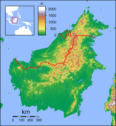
Long Moh is a longhouse settlement in the Marudi division of Sarawak, Malaysia.[1][2] It lies approximately 551.6 kilometres (343 mi) east-north-east of the state capital Kuching.
The village is located in the Ulu Baram area on the Baram River between Long Selaan (upstream) and Long Bela'ong (downstream).[3]
The village belongs to the Kenyah people, an indigenous tribe in the Sarawak interior. The village was originally established when tribespeople of the Lepo'Tau subgroup moved to the area from the Silat River, and the people of Long Selaan gave an area of land to them.[4] It is located at the confluence of a small stream with the larger Baram River, as is often the case with Kenyah villages.[4]
Neighbouring settlements include:
- Long Selaan 2.6 kilometres (1.6 mi) northeast
- Long Tungan 13.4 kilometres (8.3 mi) northeast
- Long Taan 15.9 kilometres (9.9 mi) southwest
- Lio Matoh 21.6 kilometres (13.4 mi) northeast
- Lio Lesong 24.1 kilometres (15.0 mi) southwest
- Long Palai 26 kilometres (16.2 mi) west
- Long Anap 27.8 kilometres (17.3 mi) west
References
- ↑ M. Mohizah, S. Julia and W. K. Soh (2006). A Sarawak Gazetteer (PDF). Kuala Lumpur: Sarawak Forestry Department Malaysia and Forest Research Institute Malaysia. ISBN 983-2181-86-0. OCLC 85818866. Retrieved 2011-01-01.
- ↑ "Long Moh, Malaysia". Geonames. 1994-02-10. Retrieved 2010-12-27.
- ↑ "Telang Usan: The Baram River of Sarawak". 2011-02-08. Retrieved 2011-02-11.
- 1 2 Victor T. King (1978). Essays on Borneo societies. Published for the University of Hull by the Oxford University Press. ISBN 978-0-19-713434-4. Retrieved 20 February 2011.
Capital: Kuching | |||||||||||||||||||||||
| Topics |
| ||||||||||||||||||||||
| Society |
| ||||||||||||||||||||||
| Administrative divisions |
| ||||||||||||||||||||||
| |||||||||||||||||||||||
This article is issued from Wikipedia - version of the 10/22/2016. The text is available under the Creative Commons Attribution/Share Alike but additional terms may apply for the media files.