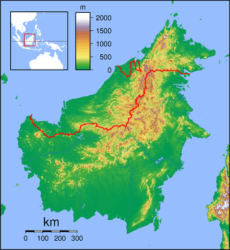
Pakan, Sarawak
| Pakan, Nanga Wak | |
|---|---|
 Pakan, Nanga Wak | |
| Coordinates: 1°53′00″N 111°41′00″E / 1.88333°N 111.68333°E | |
| Malaysia |
|
| State |
|
| Administrative Division | Sarikei |
| Government | |
| • Ruling party | Barisan Nasional |
| • Elected representative | Dato' Sri William Mawan Ikom |
| Elevation | 71 m (233 ft) |
| Population (2014[1]) | |
| • Total | 32,209 |
Pakan, Nanga Wak is a small town in Sarawak, Malaysia. It is located in Sarikei Division. It lies approximately 153.8 kilometres (96 mi) east-northeast of the state capital, Kuching. The district population (as of the 2014 census) was 32,209. The district is represented by Buah Pakan.
Most of its inhabitants are ethnic Iban group (91% or 24,972) and a few minorities of Chinese group (8.17% or 8,071) usually concentrated in its town area. A small minority of Muslim (1.15% or 966) work in a government sector, such as teachers, nurses, district officers, and police.
Education
- Pre-schools
- Tadika KEMAS Pakan
- Tadika KEMAS Nanga Wak
- Tadika kemas Nansang
- Tadika Kemas Ng Balong, Genega
- Primary schools
- SK Nanga Pakan
- SK Sungai Sugai
- SK Nanga Wak
- Sk Nanga Sembawang
- Sk Ulu Manding
- Sk Nanga Pedanum
- Sk Nanga Kota
- Secondary school
- SMK Pakan
- (extra information) SMK Meradong (Bintangor), SMK Bintangor (Bintangor), the nearest school most of the upper six students attended after they finishing their form 5.
Places of worship
- St. Francis Church
- BEM (SIB) Nanga Pakan
- Chapel St Joseph,Ulu Kota
- Mosque (beside Klinik Pakan)
- Surau Zulkarnain, Rumah Julin, Kg Amut ( Sponsored by Yayasan Amal Malaysia Cawangan Sarawak )
Longhouses
- Tr Rawing, Ulu Marau
- Tr Undi, Sg Gerunggang ( once niang Tr Taling )
- Tr Sedau Ak Mgpali
- Tr Nyambar
- Tr Bujang
- Rumah Jilap Bt6 Jalan Entaibai Pakan
- Tr Matthew Nawong, Lubuk Pisang, Sg Genega
- Tr Tukang, Nyalak Atas
and other long houses.
Government buildings and others
- Police Station
- Agro Bank (ATM)
- District Office
- Clinic Pakan (with doctor)
- Multipurpose hall
- Pump House Pakan
- Marketplace
- Jabatan Pendaftaran Negara office
Public Transportions
- Buses( Limited trip per day)
- Private transport (like Uber)
Utilities
- Water (already covered most of the part of Long houses nearer to Pakan) 2016
- Electricity (already covered most of the part of Long houses nearer to Pakan) 2014
This condition is about long houses. Pakan already have this utilities ages ago.
Entertainment Spot
- GYM (Coming soon)
- Local Pub
Phone reception
- Umobile*
- Celcom*
- Maxis*
- Digi*
- Kampung tanpa wayar ( Pakan town and other long houses either at Pakan or at Wak)
(*)Not all the locations fully covered. Depending on the area and the location of the tower.
Direct Broadcast Satellite TV
- Astro ( Pay TV )
- Njoy ( Free TV )
- Normal Athena
Town
- Pakan
- Near to Julau and Bintangor
- Sibu and Sarikei (big town)
Potential Tourism Spots
- Lumbung Rentap at Bukit Sibau (Rentap's final resting place)
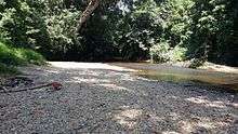
- Wong Puji waterfall
- Bukit Uyu (the grave of the Rentap's follower , Uyu , Medan and two mores
- Kerangan Rantau Enjin, Jln Pakan-Ulu Kota.
Annual Event
- Pesta Pakan
- Kembara Off-Road
Alternate road
New road alternative connecting user from Sibu to go directly to Ulu Budu in Saratok district by passing through Pakan provides a shorter time compared to the existing one which passes through T-junction to Sarikei. What used to be about 3 hours journey from Sibu to Saratok will take only about 2 hours. So users on a long journey to Kuching benefit a lot from this road.
Sibu -> Julau -> Bintangor -> Sarikei -> Pakan -> Wak
Nearest Airport
- Airport Sibu
Airport Sibu -> Pakan - duration 2 hours
References
- ↑ "Laporan Kiraan Permulaan 2014". Jabatan Perangkaan Malaysia. p. iv. Retrieved 24 January 2014.
Capital: Kuching | |||||||||||||||||||||||
| Topics |
| ||||||||||||||||||||||
| Society |
| ||||||||||||||||||||||
| Administrative divisions |
| ||||||||||||||||||||||
| |||||||||||||||||||||||
Coordinates: 1°53′N 111°41′E / 1.883°N 111.683°E