Malvina, Mississippi
| Malvina, Mississippi | |
|---|---|
| Unincorporated community | |
 | |
 Malvina, Mississippi  Malvina, Mississippi | |
| Coordinates: 33°50′58″N 90°55′02″W / 33.84944°N 90.91722°WCoordinates: 33°50′58″N 90°55′02″W / 33.84944°N 90.91722°W | |
| Country | United States |
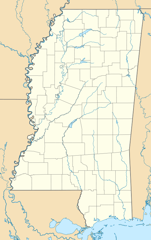
| State | Mississippi |
| County | Bolivar |
| Elevation | 144 ft (44 m) |
| Time zone | Central (CST) (UTC-6) |
| • Summer (DST) | CDT (UTC-5) |
| ZIP code | 38769 |
| Area code(s) | 662 |
| GNIS feature ID | 692039[1] |
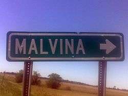
Malvina is an unincorporated community located in Bolivar County, Mississippi, approximately 3 miles (4.8 km) northwest of Symonds and approximately 9 miles (14 km) east of Rosedale.
Originally named "Phalia", the town was established in 1887 by Jett Dent, who became the first postmaster. Dent owned a logging company and sawmill, as well as a flat boat with which he plied the waters of the Bogue Phalia, which ran through Phalia.
Phalia was a busy logging town, and the Bogue Phalia was used to run log rafts south to Pace to be milled.
When the Louisville, New Orleans and Texas Railway built a line in the late 1880s between Rosedale and Boyle, a depot, platforms, water tank and wood yard were constructed at Phalia. By 1900, there was a store, two seed houses, and a train that ran twice daily.
In 1901, the town's name was changed to Malvina, after Malvina Yeager Scott.
A dirt road ran from Rosedale to Merigold, and passed through Malvina. In 1906, the Board of Supervisors began county-wide gravel road construction.[2]
In the 1920s, a wooden three-way bridge was built in Malvina over the confluence of the Lane Bayou and Bogue Phalia. It was one of the few three-way bridges in the world, and was torn down and replaced by a modern bridge in 1972.[3]
References
- ↑ U.S. Geological Survey Geographic Names Information System: Malvina, Mississippi
- ↑ "Malvina" (PDF). MSGenWEB. 1904.
- ↑ Hays, Gabby (January 22, 2014). "Talking About the T Bridge". Bolivar Bullit.
Municipalities and communities of Bolivar County, Mississippi, United States | ||
|---|---|---|
| Cities | 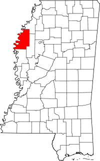 | |
| Towns | ||
| Unincorporated communities | ||
| Ghost towns | ||
| Footnotes | ‡This populated place also has portions in an adjacent county or counties | |