Noble Furnace, Virginia
| Noble Furnace, Virginia | |
|---|---|
| Unincorporated community | |
 Noble Furnace, Virginia  Noble Furnace, Virginia | |
| Coordinates: 36°48′33″N 81°05′48″W / 36.80917°N 81.09667°WCoordinates: 36°48′33″N 81°05′48″W / 36.80917°N 81.09667°W | |
| Country | United States |
| State | Virginia |
| County | Wythe |
| Elevation | 2,274 ft (693 m) |
| Time zone | Eastern (EST) (UTC-5) |
| • Summer (DST) | EDT (UTC-4) |
| GNIS feature ID | 1493350[1] |
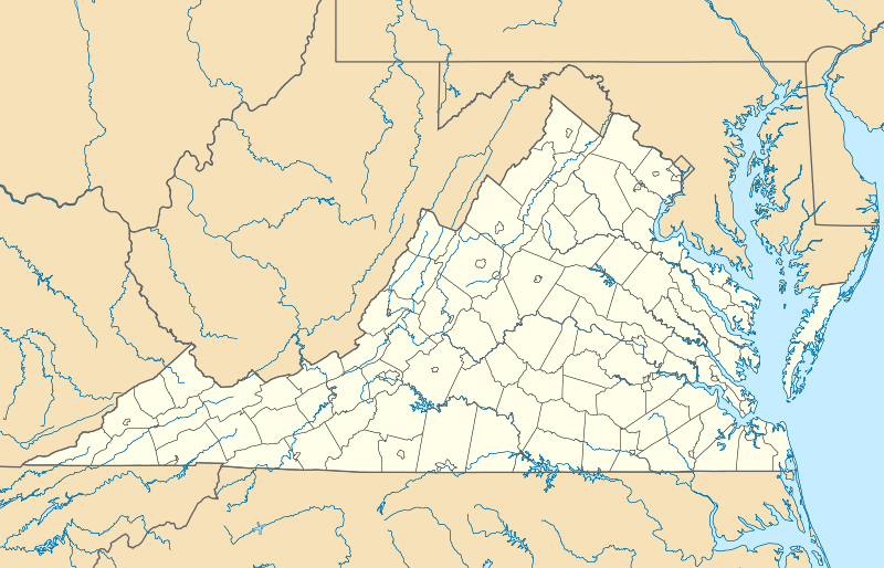
Noble Furnace is an unincorporated community in Wythe County, Virginia, United States.[1] The community is located on Francis Mill Creek near Hussy Mountain and Fry Hill approximately 9.6 miles (15.4 km) south of Wytheville.[2] Noble Furnace is the location of a former iron furnace of the same name (also called the Irondale Furnace) constructed in 1880 or 1881.[3][4] The cold blast furnace was steam powered and its stack was constructed of stone.[5] The furnace was owned by the Norma Iron Company[6] and utilized primarily limestone ore[7] which was transported from nearby deposits to the furnace via tramway.[6]
References
- 1 2 "Noble Furnace". Geographic Names Information System. United States Geological Survey. Retrieved March 3, 2014.
- ↑ "The National Map". United States Geological Survey. Retrieved March 3, 2014.
- ↑ McCreath, Andrew Smith; D'Invilliers, Edward Vincent (1887). The New River-Cripple Creek mineral region of Virginia, Volume 144. Harrisburg Pub. Co. p. 109. Retrieved March 3, 2014.
- ↑ Hall, Randal L. (2012). Mountains on the Market: Industry, the Environment, and the South. University Press of Kentucky. p. 89. Retrieved March 3, 2014.
- ↑ McCreath 1884, p. 78.
- 1 2 McCreath 1884, p. 93.
- ↑ McCreath 1884, p. 95.
Bibliography
- McCreath, Andrew Smith (1884). The Mineral Wealth of Virginia, Tributary to the Lines of the Norfolk & Western & Shenandoah Valley Railroad Companies. L.S. Hart. Retrieved March 3, 2014.
Municipalities and communities of Wythe County, Virginia, United States | ||
|---|---|---|
| Towns | 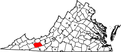 | |
| CDPs | ||
| Unincorporated communities | ||
This article is issued from Wikipedia - version of the 10/19/2016. The text is available under the Creative Commons Attribution/Share Alike but additional terms may apply for the media files.