Old Wilson Historic District
|
Old Wilson Historic District | |
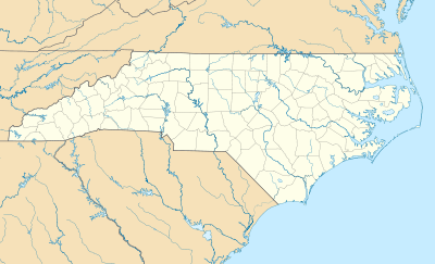  | |
| Location | Roughly bounded by Nash, N. Cone, Gold and Railroad Sts. and Maplewood Cemetery, Wilson, North Carolina |
|---|---|
| Coordinates | 35°43′51″N 77°54′38″W / 35.73083°N 77.91056°WCoordinates: 35°43′51″N 77°54′38″W / 35.73083°N 77.91056°W |
| Area | 164 acres (66 ha) |
| Built | 1853 |
| Architect | Moore,Solon Balias; et al. |
| Architectural style | Colonial Revival, Bungalow/craftsman, Queen Anne |
| NRHP Reference # | 84000736[1] |
| Added to NRHP | December 20, 1984 |
The Old Wilson Historic District in Wilson, North Carolina is a 164-acre (66 ha) historic district that was listed on the National Register of Historic Places (NRHP) in 1984. It includes work dating from 1853 and work designed by architect Solon Balias Moore and others. The listing included 263 contributing buildings, one contributing site, one contributing structure, and three contributing objects.[1][2]
It includes the separately NRHP-listed Moses Rountree House and the NRHP-listed Davis-Whitehead-Harriss House.[1]
References
- 1 2 3 National Park Service (2010-07-09). "National Register Information System". National Register of Historic Places. National Park Service.
- ↑ Tom Butchko (June 1984). "Old Wilson Historic District" (pdf). National Register of Historic Places - Nomination and Inventory. North Carolina State Historic Preservation Office. Retrieved 2015-07-01.

This article is issued from Wikipedia - version of the 11/29/2016. The text is available under the Creative Commons Attribution/Share Alike but additional terms may apply for the media files.