Omar, West Virginia
| Omar, West Virginia | |
|---|---|
| Census-designated place (CDP) | |
 Omar, West Virginia | |
| Coordinates: 37°45′20″N 81°59′58″W / 37.75556°N 81.99944°WCoordinates: 37°45′20″N 81°59′58″W / 37.75556°N 81.99944°W | |
| Country | United States |
| State | West Virginia |
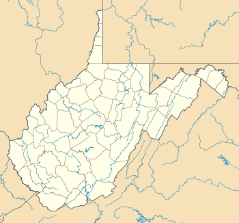
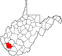
| County | Logan |
| Area[1] | |
| • Total | 1.140 sq mi (2.95 km2) |
| • Land | 1.125 sq mi (2.91 km2) |
| • Water | 0.015 sq mi (0.04 km2) |
| Elevation | 814 ft (248 m) |
| Population (2010)[2] | |
| • Total | 552 |
| • Density | 480/sq mi (190/km2) |
| Time zone | Eastern (EST) (UTC-5) |
| • Summer (DST) | EDT (UTC-4) |
| ZIP code | 25638 |
| Area code(s) | 304 & 681 |
| GNIS feature ID | 1544403[3] |
Omar is a census-designated place (CDP) in Logan County, West Virginia, United States. Omar is located along West Virginia Route 44 and Island Creek, 6.5 miles (10.5 km) south of Logan.[4] Omar has a post office with ZIP code 25638.[5] As of the 2010 census, its population was 522.[2]
The community was named after a local settler.[6]
.jpg) Omar in 1935
Omar in 1935
References
- ↑ "US Gazetteer files: 2010, 2000, and 1990". United States Census Bureau. 2011-02-12. Retrieved 2011-04-23.
- 1 2 "American FactFinder". United States Census Bureau. Retrieved 2011-05-14.
- ↑ U.S. Geological Survey Geographic Names Information System: Omar, West Virginia
- ↑ West Virginia Atlas & Gazetteer. Yarmouth, Me.: DeLorme. 1997. p. 57. ISBN 0-89933-246-3.
- ↑ ZIP Code Lookup
- ↑ Kenny, Hamill (1945). West Virginia Place Names: Their Origin and Meaning, Including the Nomenclature of the Streams and Mountains. Piedmont, WV: The Place Name Press. p. 459.
This article is issued from Wikipedia - version of the 11/5/2016. The text is available under the Creative Commons Attribution/Share Alike but additional terms may apply for the media files.