Padbury, Western Australia
| Padbury Perth, Western Australia | |||||||||||||
|---|---|---|---|---|---|---|---|---|---|---|---|---|---|
 Padbury | |||||||||||||
| Coordinates | 31°48′29″S 115°46′08″E / 31.808°S 115.769°ECoordinates: 31°48′29″S 115°46′08″E / 31.808°S 115.769°E | ||||||||||||
| Population | 8,113 (2006 census)[1] | ||||||||||||
| Postcode(s) | 6025 | ||||||||||||
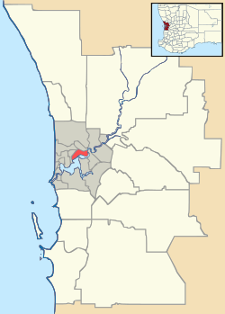
| Location | 23 km (14 mi) NNW of Perth | ||||||||||||
| LGA(s) | City of Joondalup | ||||||||||||
| State electorate(s) | Hillarys | ||||||||||||
| Federal Division(s) | Moore | ||||||||||||
| |||||||||||||
Padbury is a suburb of Perth, Western Australia, located within the City of Joondalup. Its postcode is 6025. The suburb was named in 1971 after the notable Western Australian settler Walter Padbury (A street in Padbury is also named after Walter Padbury, Walter Padbury Boulevard). Several locations in the north section of Padbury bordering on the main road of Whitfords Avenue take on the name Whitfords. The South East corner of the suburb also goes by the name of Hepburn Heights. The most eastern part of Padbury is often called Pinnaroo Heights.
Senior and Tertiary Education
Padbury contains one high school, Padbury Senior High School, and four primary schools, Padbury Primary School, Bambara Primary School, South Padbury Primary School and Padbury Catholic Primary School.
Padbury High School Closed in the end of 2011
References
- ↑ Australian Bureau of Statistics (25 October 2007). "Padbury (State Suburb)". 2006 Census QuickStats. Retrieved 2008-10-05.