Pleasant Run Township, Lawrence County, Indiana
| Pleasant Run Township | |
|---|---|
| Township | |
|
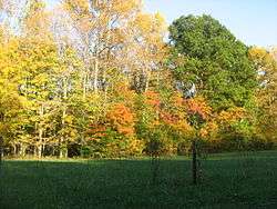
Scenery in the township | |
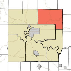 Location in Lawrence County | |
| Coordinates: 38°56′31″N 86°21′59″W / 38.94194°N 86.36639°WCoordinates: 38°56′31″N 86°21′59″W / 38.94194°N 86.36639°W | |
| Country |
|
| State |
|
| County | Lawrence |
| Government | |
| • Type | Indiana township |
| Area | |
| • Total | 64.79 sq mi (167.8 km2) |
| • Land | 64.77 sq mi (167.8 km2) |
| • Water | 0.02 sq mi (0.05 km2) 0.03% |
| Elevation | 738 ft (225 m) |
| Population (2010) | |
| • Total | 1,883 |
| • Density | 29.1/sq mi (11.2/km2) |
| ZIP codes | 47264, 47421, 47436 |
| GNIS feature ID | 0453752 |
Pleasant Run Township is one of nine townships in Lawrence County, Indiana, United States. As of the 2010 census, its population was 1,883 and it contained 862 housing units.[1]
History
Pleasant Run Township was established in 1818.[2] It was named after the Pleasant Run creek.[3]
Geography
According to the 2010 census, the township has a total area of 64.79 square miles (167.8 km2), of which 64.77 square miles (167.8 km2) (or 99.97%) is land and 0.02 square miles (0.052 km2) (or 0.03%) is water.[1]
Unincorporated towns
- Bartlettsville at 38°58′13″N 86°26′31″W / 38.970328°N 86.441937°W
- Heltonville at 38°55′40″N 86°22′32″W / 38.927829°N 86.375546°W
- Zelma at 38°56′02″N 86°18′07″W / 38.933940°N 86.301932°W
Cemeteries
The township contains these five cemeteries: Bailey, Covey, Faubion, Hawkins and Tanksley.
Major highways
Lakes
- Rainbow Lake
School districts
- North Lawrence Community Schools
Political districts
- Indiana's 9th congressional district
- State House District 65
- State Senate District 44
References
- "Pleasant Run Township, Lawrence County, Indiana". Geographic Names Information System. United States Geological Survey. Retrieved 2009-10-08.
- United States Census Bureau 2008 TIGER/Line Shapefiles
- IndianaMap
- 1 2 "Population, Housing Units, Area, and Density: 2010 - County -- County Subdivision and Place -- 2010 Census Summary File 1". United States Census. Retrieved 2013-05-10.
- ↑ History of Lawrence and Monroe Counties, Indiana: Their People, Industries, and Institutions. B.F. Bowen. 1914. p. 58.
- ↑ History of Lawrence, Orange, and Washington Counties, Indiana: From the Earliest Time to the Present. Higginson Book Company. 1884. p. 55.
External links
- Indiana Township Association
- United Township Association of Indiana
- City-Data.com page for Pleasant Run Township

Municipalities and communities of Lawrence County, Indiana, United States | ||
|---|---|---|
| Cities | ||
| Town | ||
| Townships | ||
| CDPs | ||
| Other unincorporated communities |
| |
| Extinct town | ||
This article is issued from Wikipedia - version of the 10/19/2016. The text is available under the Creative Commons Attribution/Share Alike but additional terms may apply for the media files.