Qassar al Qulay`ah
 Qassar al Qulay`ah | |
| Geography | |
|---|---|
| Location | Persian Gulf |
| Coordinates | 26°11′06″N 50°39′18″E / 26.185°N 50.655°ECoordinates: 26°11′06″N 50°39′18″E / 26.185°N 50.655°E |
| Archipelago | Bahrain |
| Adjacent bodies of water | Persian Gulf |
| Total islands | 1 |
| Major islands |
|
| Area | 0.13 km2 (0.050 sq mi) |
| Highest elevation | 5 m (16 ft) |
| Administration | |
| Governorate | Muharraq Governorate |
Largest settlement |
Bahrain port facilities (population 0) |
| Demographics | |
| Demonym | Bahraini |
| Population | 0 (2010) |
| Pop. density | 0 /km2 (0 /sq mi) |
| Ethnic groups | Bahraini, non-Bahraini |
| Additional information | |
| Time zone | |
| Official website |
www |
| ISO Code = BH-14 | |
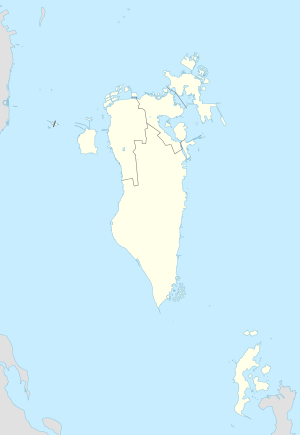
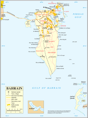
Qassar al Qulay`ah Island is an island of Bahrain. It has a distance of 7 km (4.3 mi) southeast of the capital, Manama, on Bahrain Island.
Administration
The island belongs to Muharraq Governorate .
Transportation
The island has some of the Bahrain Port facilities.
Image gallery
 Map 1
Map 1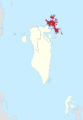 District Map
References
This article is issued from Wikipedia - version of the 11/18/2016. The text is available under the Creative Commons Attribution/Share Alike but additional terms may apply for the media files.