Rural Municipality of Mankota No. 45
| Mankota No. 45 | |
|---|---|
| Rural Municipality | |
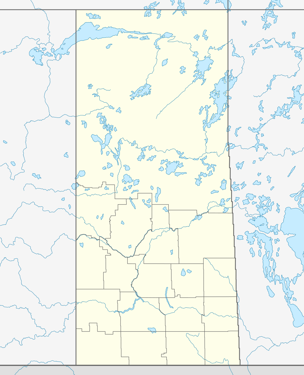 Location of Mankota No. 45 in Saskatchewan | |
| Coordinates: 49°15′42″N 107°00′57″W / 49.26167°N 107.01583°WCoordinates: 49°15′42″N 107°00′57″W / 49.26167°N 107.01583°W | |
| Country | Canada |
| Province | Saskatchewan |
| Region | Southwest Saskatchewan |
| Census division | 3 |
| Government[1] | |
| • Governing body | Mankota No. 45 Council |
| • Municipal seat | Mankota |
| • Reeve | Doug Williamson |
| • Administrator | Michael E. Sherven |
| Population (2006) | |
| • Total | 382 |
| • Density | 0.2/km2 (0.5/sq mi) |
| • Dwellings | 173 |
| Time zone | UTC (UTC-6) |
| Area code(s) | 306 |
| Highways |
Highway 18 Highway 19 Highway 611 |
| Points of interest | Grasslands National Park |
| Website | Official website |
Mankota No. 45 is a rural municipality in the Canadian province of Saskatchewan, located in the Census Division 3, in the southwestern corner of the province. The seat of the municipality is located in the village of Mankota. The southern border of the RM is the United States border, mostly with Valley County, but with a very short section at its southwest corner also with Phillips County, both in Montana.
Demographics
In 2006, the Rural municipality had a population of 382 in 173 dwellings, a -11.2% decrease from 2001. On a surface of 1,696.22 km² it has a density of 0.2 inhabitants/km².[2]
Communities
The following communities are located in this municipality:
Villages
- Mankota - Seat of municipality
Hamlets
Transportation
The following is a list of Saskatchewan highways and provincial roads, that passes through the municipality of Mankota.
See also
References
- ↑ Official website http://www.mds.gov.sk.ca/apps/Pub/MDS/muniDetails.aspx?cat=10&mun=2464
- ↑ 2006 Community Profiles http://www12.statcan.ca/census-recensement/2006/dp-pd/prof/92-591/details/page.cfm?B1=All&Code1=4703018&Code2=47&Custom=&Data=Count&Geo1=CSD&Geo2=PR&Lang=E&SearchPR=01&SearchText=Mankota+No.+45&SearchType=Begins