Schwand im Innkreis
| Schwand im Innkreis | ||
|---|---|---|
| ||
 Schwand im Innkreis Location within Austria | ||
| Coordinates: 48°10′42″N 12°58′05″E / 48.17833°N 12.96806°ECoordinates: 48°10′42″N 12°58′05″E / 48.17833°N 12.96806°E | ||
| Country | Austria | |
| State | Upper Austria | |
| District | Braunau am Inn | |
| Government | ||
| • Mayor | Johann Martin Prielhofer (ÖVP) | |
| Area | ||
| • Total | 17.09 km2 (6.60 sq mi) | |
| Elevation | 423 m (1,388 ft) | |
| Population (14 June 2016)[1] | ||
| • Total | 918 | |
| • Density | 54/km2 (140/sq mi) | |
| Time zone | CET (UTC+1) | |
| • Summer (DST) | CEST (UTC+2) | |
| Postal code | 5134 | |
| Area code | 07728 | |
| Vehicle registration | BR | |
| Website |
www.oberoesterreich. at/schwand | |

Schwand im Innkreis is a municipality in the district of Braunau am Inn in the Austrian state of Upper Austria.
Geography
Schwand lies in the Innviertel. About 6 percent of the municipality is forest and 88 percent farmland.
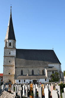
Church in Schwand im Innkreis
References
| Wikimedia Commons has media related to Schwand im Innkreis. |
This article is issued from Wikipedia - version of the 11/4/2016. The text is available under the Creative Commons Attribution/Share Alike but additional terms may apply for the media files.