Selemani
| Selemani | |
|---|---|
| Σελέμανι (Greek) Süleymaniye (Turkish) | |
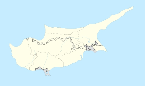 Selemani Location in Cyprus | |
| Coordinates: 35°8′58″N 32°42′24″E / 35.14944°N 32.70667°ECoordinates: 35°8′58″N 32°42′24″E / 35.14944°N 32.70667°E | |
| Country |
|
| District | Nicosia District |
| Time zone | EET (UTC+2) |
| • Summer (DST) | EEST (UTC+3) |
Selemani (Greek: Σελέμανι, Turkish: Süleymaniye) is an abandoned village in the Nicosia District of Cyprus, near the Kato Pyrgos but within the UN Buffer Zone. Prior to 1974 the village was almost exclusively inhabited by Turkish Cypriots [1]

Selemani
References
This article is issued from Wikipedia - version of the 2/18/2016. The text is available under the Creative Commons Attribution/Share Alike but additional terms may apply for the media files.