Petra, Cyprus
| Petra | |
|---|---|
 Petra | |
| Coordinates: 35°06′31″N 32°54′28″E / 35.10861°N 32.90778°ECoordinates: 35°06′31″N 32°54′28″E / 35.10861°N 32.90778°E | |
| Country |
|
| • District | Nicosia District |
| Country (controlled by) |
|
| • District | Güzelyurt District |
| Time zone | EET (UTC+2) |
| • Summer (DST) | EEST (UTC+3) |
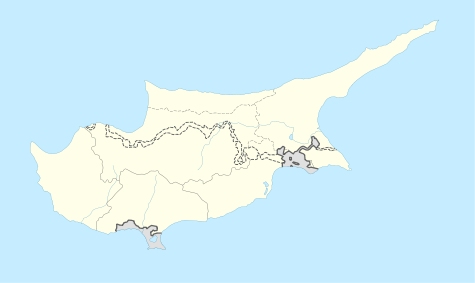
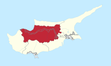
Petra (Greek: Πέτρα; Turkish: Petre or Taşköy) is a former village in Cyprus, now uninhabited and largely destroyed. It is located east of the town of Lefka and just north the Green Line. De facto, Petra is under the control of Northern Cyprus.
Petra had a mixed Greek and Turkish Cypriot population with a Greek Cypriot majority. Some of the village has been used as a military camp.[1]
References
- ↑ "PETRA". Internal displacement in Cyprus. PRIO Cyprus Centre. Retrieved 9 November 2014.

This article is issued from Wikipedia - version of the 11/9/2014. The text is available under the Creative Commons Attribution/Share Alike but additional terms may apply for the media files.