Shives, Arkansas
| Shives, Arkansas | |
|---|---|
| Unincorporated community | |
 Shives, Arkansas  Shives, Arkansas | |
| Coordinates: 33°16′31″N 91°10′15″W / 33.27528°N 91.17083°WCoordinates: 33°16′31″N 91°10′15″W / 33.27528°N 91.17083°W | |
| Country | United States |
| State | Arkansas |
| County | Chicot |
| Elevation | 121 ft (37 m) |
| Time zone | Central (CST) (UTC-6) |
| • Summer (DST) | CDT (UTC-5) |
| GNIS feature ID | 58620[1] |
Shives (also Shrives) is an unincorporated community in Chicot County, Arkansas, United States.[1]
Shives is located on the southeast shore of Lake Chicot, approximately 1 mi (1.6 km) west of the Mississippi River.
U.S. Route 278 passes through Shives, and Shives is the first settlement west of the Greenville Bridge.
References
Municipalities and communities of Chicot County, Arkansas, United States | ||
|---|---|---|
| Cities | 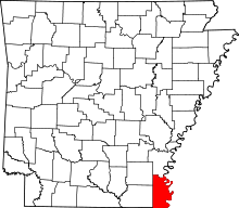 | |
| Unincorporated communities | ||
| Ghost town | ||
This article is issued from Wikipedia - version of the 7/29/2016. The text is available under the Creative Commons Attribution/Share Alike but additional terms may apply for the media files.