Sonakhali, South 24 Parganas
| Sonakhali সোনাখালি | |
|---|---|
| Village | |
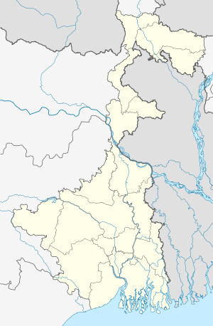 Sonakhali  Sonakhali Location in West Bengal, India | |
| Coordinates: 22°12′46″N 88°41′11″E / 22.2127090°N 88.6863710°ECoordinates: 22°12′46″N 88°41′11″E / 22.2127090°N 88.6863710°E | |
| Country |
|
| State | West Bengal |
| District | South 24 Parganas |
| Government | |
| • Body | Gram panchayat |
| Elevation | 4 m (13 ft) |
| Languages | |
| • Official | Bengali, English |
| Time zone | IST (UTC+5:30) |
| Vehicle registration | WB |
| Website |
s24pgs |
| CD Block | |
For other uses, see Sonakhali.
Sonakhali is a village in Basanti CD Block in Canning subdivision of South 24 Parganas district in the Indian state of West Bengal. It's a very popular starting point for a trip to Sundarbans.
Geography
Sonakhali is located at 22°12′46″N 88°41′11″E / 22.2127090°N 88.6863710°E.
Sonakhali, located near Basanti, is 100 km (03 hrs) drive from Kolkata. Sonakhali to Sajnakhali Wildlife Sanctuary (The Jungle Lodge) is 2½ hrs by boat.[1]
Demographics
As per 2011 Census of India Sonakhali had a total population of 10,582, of which 5,243 (51%) were males and 5,159 (49%) were females. Population below 6 years was 1,654. The total number of literates in Sonakhali was 6,495 (72.75% of the population over 6 years).[2]
References
- ↑ "Sonakhali".
- ↑ "C.D. Block Wise Primary Census Abstract Data(PCA)". 2011 census: West Bengal – District-wise CD Blocks. Registrar General and Census Commissioner, India. Retrieved 26 April 2016.
Cities, towns and locations in South 24 Parganas district | |||||||||||||||||||
|---|---|---|---|---|---|---|---|---|---|---|---|---|---|---|---|---|---|---|---|
| Cities, municipal and census towns |
| ||||||||||||||||||
| Locations other than cities and towns | |||||||||||||||||||
| Related topics |
| ||||||||||||||||||
This article is issued from Wikipedia - version of the 11/23/2016. The text is available under the Creative Commons Attribution/Share Alike but additional terms may apply for the media files.