South River Peak
| South River Peak | |
|---|---|
 South River Peak | |
| Highest point | |
| Elevation | 13,154 ft (4,009 m) [1][2] |
| Prominence | 2,448 ft (746 m) [3] |
| Isolation | 21.12 mi (33.99 km) [3] |
| Listing | |
| Coordinates | 37°34′27″N 106°58′54″W / 37.5740775°N 106.9815374°WCoordinates: 37°34′27″N 106°58′54″W / 37.5740775°N 106.9815374°W [1] |
| Geography | |
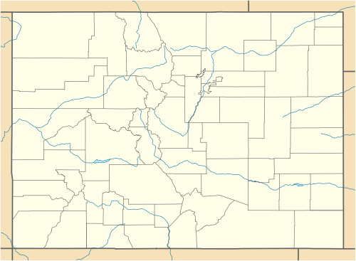
| Location | Mineral County, Colorado, U.S.[4] |
| Parent range | San Juan Mountains[3] |
| Topo map |
USGS 7.5' topographic map South River Peak, Colorado[1] |
South River Peak, elevation 13,154 ft (4,009 m), is a summit San Juan Mountains of southern Colorado. The mountain is in the Weminuche Wilderness of Rio Grande National Forest.
Historical names
- Macomb Peak
- South River Peak – 1906 [4]
See also
References
- 1 2 3 "S RIVER". NGS data sheet. U.S. National Geodetic Survey. Retrieved October 22, 2014.
- ↑ The elevation of South River Peak includes an adjustment of +1.879 m (+6.16 ft) from NGVD 29 to NAVD 88.
- 1 2 3 "South River Peak, Colorado". Peakbagger.com. Retrieved October 22, 2014.
- 1 2 "South River Peak". Geographic Names Information System. United States Geological Survey. Retrieved November 13, 2014.
External links
- Rio Grande National Forest (United States Forest Service)
This article is issued from Wikipedia - version of the 1/18/2016. The text is available under the Creative Commons Attribution/Share Alike but additional terms may apply for the media files.