Mount Augusta
| Mount Augusta | |
|---|---|
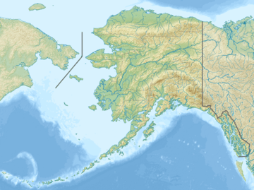 Mount Augusta Location in Alaska, United States | |
| Highest point | |
| Elevation | 4289 m (14,070 ft) [1] NAVD88 |
| Prominence | 1549 m (5082 ft) [1] |
| Isolation | 23.2 km (14.41 mi) [1] |
| Listing | |
| Coordinates | 60°18′19″N 140°27′37″W / 60.30528°N 140.46028°WCoordinates: 60°18′19″N 140°27′37″W / 60.30528°N 140.46028°W [1] |
| Geography | |
| Location |
Yakutat City and Borough, Alaska, United States; Yukon, Canada |
| Parent range | Saint Elias Mountains |
| Topo map | USGS Mount Saint Elias B-7 Quadrangle |
| Climbing | |
| First ascent | 1952 by Peter Schoening et al via Northeast Ridge |
| Easiest route | snow/ice climb |
Mount Augusta, also designated Boundary Peak 183,[2] is a high peak of the Saint Elias Mountains on the border between the U.S. state of Alaska and the Canadian territory of Yukon.
Mount Augusta lies about 25 km (16 mi) south of Mount Logan and 25 km east of Mount Saint Elias, respectively the first and second highest mountains in Canada. It forms the eastern end of the long ridge of which Mount Saint Elias is the center and highest point.
The Seward Glacier starts to the north of the peak, separating it from Mount Logan, and then flows around the east side of the peak, forming the gap between Augusta and the peaks surrounding Mount Cook. It then continues south to join the Malaspina Glacier.
Name origin
Mount Augusta was named in 1891 by I.C. Russell of the USGS, for his wife J. Augusta Olmsted Russell.[3]
Notable Features
In terms of pure elevation, Mount Augusta is not particularly notable, being one of the lowest fourteeners in the United States; it is therefore quite overshadowed by its huge neighbors Saint Elias and Logan. However, it is a huge peak in terms of local relief, since it lies so close to low terrain (and in fact close to tidewater). For example, it drops 10,000 feet (3,050m) to the Seward Glacier on the southeast side of the peak in approximately 3.5 miles (5.6 km).
Climbing
- 1952 North Ridge (the eastern of two north ridges), FA of peak by Peter Schoening, Victor Josendal, Bill Niendorf, Richard E. McGowen, Bob Yeasting, Gibson Reynolds, Tom Morris, Verl Rogers, summitting on July 4.[4]
- 1987 a party led by noted Canadian mountaineer Don Serl ascended a route on the North Rib and West Ridge.
- 1990 South Ridge. Mark Bebie (U.S.) and Bill Pilling reached the summit after a climb of six days.[5]
See also
- List of mountain peaks of North America
- List of Boundary Peaks of the Alaska-British Columbia/Yukon border
Bibliography
- Orth, David J. (1971). "Dictionary of Alaska place names". Professional Paper (567). US Government Printing Office. USGS (200) qB no.567. Retrieved 2014-01-01.
- Selters, Andy (2004). Ways to the Sky: A Historical Guide to North American Mountaineering. Golden, CO, USA: American Alpine Club Press. ISBN 0-930410-83-1. Retrieved 2014-01-01.
- Wood, Michael; Coombs, Colby (2001). Alaska: A Climbing Guide. The Mountaineers. ISBN 978-0-89886-724-4. Retrieved 2014-01-01.
Sources
- 1 2 3 4 "Mount Augusta, Alaska-Yukon". Peakbagger.com. Retrieved January 6, 2016.
- ↑ Orth p. 93
- ↑ "Mount Augusta". Geographic Names Information System. United States Geological Survey. Retrieved 2009-11-06.
- ↑ Selters pp. 164–165
- ↑ Selters pp. 312–313
External links
Juneau (capital) | ||
| Topics |
|  |
| Society |
| |
| Regions | ||
| Largest cities | ||
| Boroughs | ||
| Census Areas | ||
| Regions | |
|---|---|
| Municipalities | |
| Communities | |
| Ghost towns | |
| Parks | |
| |