Sunflower, Arizona
| Sunflower, Arizona | |
|---|---|
| Unincorporated community | |
 Location of Sunflower in Maricopa County, Arizona | |
| Coordinates: 33°51′51″N 111°28′03″W / 33.86417°N 111.46750°WCoordinates: 33°51′51″N 111°28′03″W / 33.86417°N 111.46750°W | |
| Country | United States |
| State | Arizona |
| County | Maricopa |
| Elevation | 3,405 ft (1,038 m) |
| Time zone | Mountain (MST) (UTC-7) |
| Area code(s) | 480 |
| GNIS feature ID | 34951[1] |
Sunflower is an unincorporated community in Maricopa County, Arizona, United States. Sunflower is located near Arizona State Route 87 22.8 miles (36.7 km) northeast of Fountain Hills.
References
Municipalities and communities of Maricopa County, Arizona, United States | ||
|---|---|---|
| Cities | 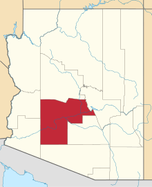 | |
| Towns | ||
| CDPs | ||
| Unincorporated communities |
| |
| Indian reservations | ||
| Ghost towns | ||
| Footnotes | ‡This populated place also has portions in an adjacent county or counties | |
This article is issued from Wikipedia - version of the 1/20/2014. The text is available under the Creative Commons Attribution/Share Alike but additional terms may apply for the media files.