Tebakang
| Tebakang | |
|---|---|
 Tebakang | |
| Coordinates: 1°06′N 110°30′E / 1.1°N 110.5°E | |
| Country |
|
| State |
|
| Administrative Division | Serian |
| Elevation | 76 m (249 ft) |
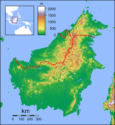
Tebakang (also known as Tebekang or Tabekang) is a village in the Serian division of Sarawak, Malaysia,[1][2] between Serian and Tebedu. It is about 15 minutes drive from Serian Town. Tebakang lies approximately 56.9 kilometres (35 mi) south-south-east of the state capital Kuching.[2]
The population of Tebakang, over 2000, is predominantly Bidayuh tribespeople and Malays, and the village is divided into two villages by the Sadong River (Sungai Sadong - in Malay). The settlement on the main road side is named Kampung Bidayuh Tebakang and on the other side of the Sadong River is Kampung Melayu Tebakang.[3] The school in Tebakang has seven classrooms, seventeen teachers, and caters for 260 students.[4]
During Charles Vyner Brooke’s era, Fort Tebakang was built as an administrative centre in 1929.[5]
The Tebakang area has some striking limestone hills with vertical cliffs.[6]
Neighbouring settlements include:
- Kampung Piching 1.9 kilometres (1.2 mi) west
- Kampung Tebakang 1.9 kilometres (1.2 mi) east
- Kampung Pesa 3.7 kilometres (2.3 mi) north
- Kampung Siu 3.7 kilometres (2.3 mi) south
- Kampung Daso 4.1 kilometres (2.5 mi) northeast
- Kampung Kuran 5.6 kilometres (3.5 mi) east
- Kampung Sorah 5.9 kilometres (3.7 mi) east
References
- ↑ M. Mohizah, S. Julia and W. K. Soh (2006). A Sarawak Gazetteer (PDF). Kuala Lumpur: Sarawak Forestry Department Malaysia and Forest Research Institute Malaysia. ISBN 983-2181-86-0. OCLC 85818866. Retrieved 2011-01-01.
- 1 2 "Tebakang, Malaysia". Geonames. 2010-08-09. Retrieved 2010-12-27.
- ↑ "Floods, landslides after non-stop rain – my Sarawak". 2009-01-12. Retrieved 2011-01-05.
- ↑ Hilary Awan (2010-02-11). "Bacalah Sayang" (PDF). Retrieved 2011-01-05.
- ↑ Ar. Mike Boon (2010-04-28). Kuching – Old World Charm, Leading To A Heritage City In The Making (PDF). Sarawak Heritage Society. p. 38. Retrieved 2011-01-02.
- ↑ "Sarawak Lens: Limestone Hills of Tebakang". 2011-01-03. Retrieved 2011-01-05.