Thoroughfare Gap (Bull Run Mountain)
| Thoroughfare Gap | |
|---|---|
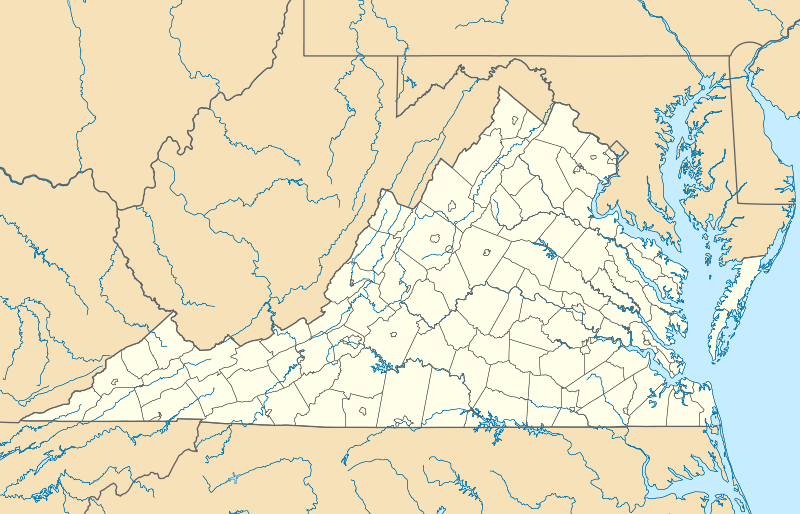 Location of the Gap in Virginia | |
| Elevation | 423 ft (129 m)[1] |
| Traversed by |
|
| Location | Fauquier / Prince William counties, Virginia, United States |
| Range | Bull Run Mountains Blue Ridge Mountains |
| Coordinates | 38°49′28″N 77°42′57″W / 38.824559°N 77.7158261°WCoordinates: 38°49′28″N 77°42′57″W / 38.824559°N 77.7158261°W |
Thoroughfare Gap is a water gap in the Bull Run Mountains created by Broad Run between High Point Mountain to the north and Bisquit Mountain to the south. It is located on the border of Prince William and Fauquier counties in Virginia.
True to its name, the small gap is traversed by Interstate 66, Virginia State Route 55 and the Manassas Gap Railroad.
The ruins of historic Beverley Mill are located at the gap.
The gap was the site of the 1862 Battle of Thoroughfare Gap during the American Civil War. The Thoroughfare Gap Battlefield was listed on the National Register of Historic Places in 1999.[2]
References
- ↑ "Thoroughfare Gap". Geographic Names Information System. United States Geological Survey.
- ↑ National Park Service (2010-07-09). "National Register Information System". National Register of Historic Places. National Park Service.
This article is issued from Wikipedia - version of the 9/20/2014. The text is available under the Creative Commons Attribution/Share Alike but additional terms may apply for the media files.