Ursa Township, Adams County, Illinois
| Ursa Township | |
|---|---|
| Township | |
 Location in Adams County | |
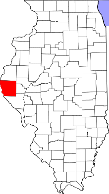 Adams County's location in Illinois | |
| Coordinates: 40°04′55″N 91°24′24″W / 40.08194°N 91.40667°WCoordinates: 40°04′55″N 91°24′24″W / 40.08194°N 91.40667°W | |
| Country | United States |
| State | Illinois |
| County | Adams |
| Established | November 6, 1849 |
| Area | |
| • Total | 61.03 sq mi (158.1 km2) |
| • Land | 57.22 sq mi (148.2 km2) |
| • Water | 3.81 sq mi (9.9 km2) 6.24% |
| Elevation | 476 ft (145 m) |
| Population (2010) | |
| • Total | 1,073 |
| • Density | 18.8/sq mi (7.3/km2) |
| Time zone | CST (UTC-6) |
| • Summer (DST) | CDT (UTC-5) |
| ZIP codes | 62301, 62351, 62376, 62379 |
| GNIS feature ID | 0429857 |
Ursa Township is one of twenty-two townships in Adams County, Illinois, United States. As of the 2010 census, its population was 1,073 and it contained 507 housing units.[1]
Geography
According to the 2010 census, the township has a total area of 61.03 square miles (158.1 km2), of which 57.22 square miles (148.2 km2) (or 93.76%) is land and 3.81 square miles (9.9 km2) (or 6.24%) is water.[1]
Cities
Unincorporated towns
Cemeteries
The township contains six cemeteries: Booth, Denson, Keith, New Providence, Stone Family and Wesley Chapel.
Major highways
Airports and landing strips
- Schnelle Airport
Lakes
- Indian Grave Lake
School districts
- Community Unit School District 4
Political districts
- Illinois' 17th congressional district
- State House District 93
- State Senate District 47
References
- "Ursa Township, Adams County, Illinois". Geographic Names Information System. United States Geological Survey. Retrieved 2010-01-04.
- United States Census Bureau 2007 TIGER/Line Shapefiles
- United States National Atlas
- 1 2 "Population, Housing Units, Area, and Density: 2010 - County -- County Subdivision and Place -- 2010 Census Summary File 1". United States Census. Retrieved 2013-05-28.
External links
 |
Canton Township, Lewis County, Missouri | Lima Township | | |
| |
Mendon Township | |||
| ||||
| | ||||
| Union Township, Lewis County, Missouri | Riverside Township | Ellington Township |
Municipalities and communities of Adams County, Illinois, United States | ||
|---|---|---|
| City | ||
| Town | ||
| Villages | ||
| Townships | ||
| Unincorporated communities | ||
This article is issued from Wikipedia - version of the 2/11/2016. The text is available under the Creative Commons Attribution/Share Alike but additional terms may apply for the media files.