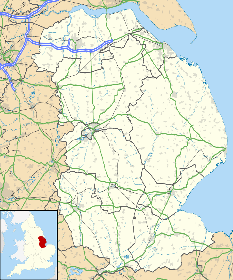
Wold Newton, Lincolnshire
| Wold Newton | |
 All Hallows' Church, Wold Newton |
|
 Wold Newton |
|
| Population | 337 (2011) |
|---|---|
| OS grid reference | TF243968 |
| – London | 135 mi (217 km) S |
| District | North East Lincolnshire |
| Shire county | Lincolnshire |
| Region | Yorkshire and the Humber |
| Country | England |
| Sovereign state | United Kingdom |
| Post town | Market Rasen |
| Postcode district | LN8 |
| Police | Humberside |
| Fire | Humberside |
| Ambulance | East Midlands |
| EU Parliament | Yorkshire and the Humber |
| UK Parliament | Cleethorpes (UK Parliament constituency) |
|
|
Coordinates: 53°27′13″N 0°07′44″W / 53.453740°N 0.128784°W
Wold Newton is a village and civil parish in North East Lincolnshire, England. The population of the civil parish at the 2011 census was 337.[1] It is situated just over 1 mile (1.6 km) west from the A18 road, 7 miles (11 km) north-west from Louth, and 9.5 miles (15 km) north-east from Market Rasen.
History
Origins
Although archaeological evidence and analysis of place names indicates millennia of settlement within the current parish boundary, the etymology of the name 'Wold Newton' dates the village to about the 8th century. It is therefore assumed that today's settlement began as a new Anglo Saxon farm in an otherwise largely Danish landscape. Coates' commentary on the place-names of Lincolnshire analyses the name 'Enschedik', the ancient name of a ditch running between the parishes of Wold Newton and Hawerby-cum-Beesby, and says that it is "tempting to regard it as a feature made when the 'new farm' of [Wold] Newton was inserted into an essentially Danish landscape".[2]
Archaeology
The most significant archaeological discovery in Wold Newton was the discovery of Anglo Saxon urns in the field, Swinhope Walk, in 1828 by road workers quarrying gravel. The site was subsequently excavated by the Rev. Dr. Oliver, Vicar of Scopwick, Lincoln, who reported at a meeting of The Archaeological Institute the discovery of a:
large tumulus, spreading over about three acres, and composed entirely of gravel.... Upon this tumulus was ... a long barrow ... in which more than twenty urns, of various forms, had been deposited, arranged in a line, the whole length of the mound, the mouths upwards,. They lay about three feet from the surface, and at irregular distances, some being close together, others three or four feet apart. Three only were preserved, and they were sent ... to the Society of Antiquaries of Scotland. They were fabricated without the use of the lathe, and rudely scored with lines and circles; these urns were half filled with ashes, calcined bones, and black greasy earth. [He supposed] that this tumulus had been a family burying-place of some British chief, the larger mound being possibly the cemetery of his tribe.[3]
English Heritage NMR Monument Reports record a range of possible historic sites within the parish from analysis of cropmarks. These include prehistoric or Roman enclosures; boundaries; trackways and the remains of a settlement consisting of tofts, crofts, buildings, boundaries hollow ways. English Heritage also records the finding of a Roman coin, a silver denarius of Trajan, dated to 114–117 AD.[4]
Field walking in 1989 collected mediaeval and Roman pottery, and flint artefacts.[5]
Turnpike
The Grimsby to Wold Newton turnpike act was passed in 1765. Until the advent of the turnpike, local villagers were responsible for the upkeep of the roads in their parish. As road transport increased in the 17th and 18th centuries the concept of charging travellers for using the road spawned the idea of the Turnpike Trust, each one created by individual act of parliament. A Turnpike Trust could borrow money to pay for road improvement and charge people for using it.
The Wold Newton turnpike, the only turnpike out of Grimsby, provided a route across the low-lying marshland surrounding Grimsby up on to the dry lands of the Wolds, ending at Wold Newton church. From Wold Newton, the traveller had to resort to the existing unimproved roads. There were toll gates at Brigsley Beck, where the toll house still stands on the north side of the road on the west side of the beck. An iron milestone still stands on the side of the road, two furlongs from the end of the road in Wold Newton.
Water
Wold Newton sits in a dry valley of the Lincolnshire Wolds. The nearest running water is 2.5 miles (4.0 km) away in the beck which flows through Swinhope and Thorganby and alternative sources of water would have been required. In Wold Newton people both collected rainwater and exploited ground water sources, and considerable evidence remains as to what they did in Victorian times and in the early decades of the 20th century.
A borehole was sunk for general village supply in 1910 and powered by a John Wallis Titt wind pump, which was latterly converted to electricity. To supply the livestock in the fields a second John Wallis Titt wind pump took the water up to a smaller reservoir in what is now Martin's Wood. Mains water only arrived in the village in the 1970s.
Land Ownership
The Earls of Yarborough owned Wold Newton from the late 18th century until the agricultural depression towards the end of the 19th century, when the estate was sold, to pay off debts,[6] to one of their Wold Newton tenants, William Wright.
The Yarboroughs had acquired the estate from the Welfitt family, who had held it during the 17th and 18th centuries but had to relinquish it after having mortgaged it too heavily.[7]
Immediately after the Norman conquest the parish was split between three feudal lords: the Bishop of Durham, Earl Alan and a group of thanes including one Sortibrand. In turn they had between them five tenants: Grinchel, Walbert, Ingemund, Wimund and Justan.
Geology
Wold Newton is situated on the eastern side of the Lincolnshire Wolds and the parish contains the highest point in North East Lincolnshire at 384 feet (117 m). The geology and topography of Wold Newton are based on the massive chalk deposits of the Cretaceous Period (145 to 66 million years ago) and the subsequent glaciation during the coolest period of the current Ice Age.
The topography of Wold Newton and the Lincolnshire Wolds was created by the sequence of glaciation and melting during two ice incursions of the last glacial period. The Wold Newton valley was a conduit for melt water which flowed down to East Ravendale and then into West Ravendale where a narrow gorge is cut through to the edge of the Wolds, joining water coming from Thorseway via Croxby Ponds.[8]
At Petterhills, there was a proglacial lake in which silts were laid down. These silts were used briefly in the 18th and 19th centuries for making bricks. The wood on the south side of Petterhills Pond used to be called Osier Holt, presumably because willows were grown there, taking advantage of the wet ground.[9]
The most interesting geological feature in Wold Newton is a "marker unit" of stratigraphic value, recorded by the British Geological Survey, which can be found in the chalk pit at the west end of the Valley. The marker unit is known as the Wootton Marls. This marl is grey in colour and about 1 cm thick. It commonly splits to form a double layer with localised areas of a marl complex up to 2 cm thick. Separating the upper and lower Wootton Marls is white chalk, containing discrete nodular flints up to 40 cm thick.[10]
Population
| Year | Population |
|---|---|
| 1603 | 57 communicants |
| 1676 | 67[11] |
| 1705 | 22 families[12] |
| 1723 | 23 families[12] |
| 1841 | 146[13] |
| 1842 | 158 |
| 1851 | 179[14]
175[13] |
| 1856 | 179 |
| 1861 | 189[13] |
| 1871 | 180[13] |
| 1881 | 165[13] |
| 1891 | 172[13] |
| 1901 | 146[13] |
| 1911 | 144[13] |
| 1921 | 134[13] |
| 1931 | 145[13] |
The population figures for 1841, 1851, 1861, 1871, 1881, 1891, 1901, 1911, 1921 and 1931 are from the UK census that was taken in those years.
Church
The present church was dedicated by the Archbishop of Canterbury on All Saints Day in 1862. It is the fifth church on the site. Two simple buildings preceded what was probably the finest church, built in the 12th century. This church was destroyed during the English Civil War when parliamentary troops came from Hull and a skirmish ensued in the churchyard. The font, which dates from the 14th century, is all that remains of the third church. A simple building served as the church from the restoration of the monarchy in 1660 until the present church was built in 1861–62 by James Fowler,[15] paid for in part by a grant from the Incorporated Society for Promoting the Enlargement, Building and Repairing of Churches and Chapels.[16][17]
List of the Rectors of Wold Newton, together with their patrons:
| Date | Name of Rector | Patron of Benefice | Curate |
|---|---|---|---|
| 1235 | Roger de Jackesham | The Bishop of Lincoln (Robert Grosseteste) | |
| 1238 | Thomas de Sutton | The King Henry III | |
| 1247 | Alexander de Bransfeld
Hugh?? |
Convent of Durham | |
| 1278 | Roger de Askeby | The Bishop of Durham | |
| 1279 | Hugh de Wyleghby | The Bishop of Durham | |
| 1291 | Philip de Wylgby | The Bishop of Durham | |
| 1305 | Henry de Lusceby | The Bishop of Durham | |
| 1318 | Guy Bretoun | The King Edward II | |
| 1319 | John de Wellwyk | ||
| 1357 | Robert Skyre | The Bishop of Durham | |
| 1358 | John Clerevaus | The Bishop of Durham | |
| 1359 | Henry Hay | The Bishop of Durham | |
| Walter de Wyom | The Bishop of Durham | ||
| 1373 | William Hannay | The Bishop of Durham | |
| 1382 | Thomas de Hedon | The Bishop of Durham | |
| 1382 | Richard de Hedon | The Bishop of Durham | |
| Stephen Houden | The Bishop of Durham | ||
| 1391 | Thomas de Paleste | The Bishop of Durham | |
| 1392 | Robert Halle | The Bishop of Durham | |
| 1396 | John Fendorn | The Bishop of Durham | |
| 1407 | Walter Byrchemore | The Bishop of Ely | |
| 1417 | William Popeler | The Bishop of Durham | |
| John Wryght | The Bishop of Durham | ||
| 1434 | Thomas Thorp | The Bishop of Durham | |
| John Hood | |||
| 1443 | Nicholas Bowey | The Bishop of Durham | |
| 1453 | William Thorp | The Bishop of Durham | |
| 1455 | John Watkynson | The Bishop of Durham | |
| William Robyns | |||
| 1475 | Thomas Hall | The Bishop of Durham | |
| 1477 | John Gornay | The Bishop of Durham | |
| 1481 | John Smyth | The Bishop of Durham | |
| 1507 | Anthony Hennage | The King Henry VII | |
| 1557 | Henry Dilcocke | Francis Aiscogh Knight | Thomas Icliffe Yeoman |
| 1566 | Richard Longworth | The Bishop of Durham | |
| 1576 | Thomas Pilkington | The Queen Elizabeth | |
| 1615 | William Richardson | ||
| 1619 | Thomas Peir | The Bishop of Durham | |
| 1626 | Elias Petley | The Bishop of Durham | |
| 1661 | Theophilus Rusta | The Bishop of Durham | |
| 1663 | Timothy Carrington | The Bishop of Durham | |
| 1708 | Richard Thomson | The Bishop of Durham | |
| 1719 | William Thompson | The Bishop of Durham | |
| 1721 | James Boad | The Bishop of Durham | |
| 1744 | John Stephen Masson | The Bishop of Durham | |
| 1745 | Robert Alcock | The Bishop of Durham | Paul Lidgitt |
| 1751 | John Parkenson | The Bishop of Durham | |
| 1793 | Edward Ellison | The Bishop of Durham | |
| 1795 | Thomas Ellison | The Bishop of Durham | |
| 1807 | Bernard Gilpin | The Bishop of Durham | 1813 John Grantham |
| 1822–43 Henry W. Powell | |||
| 1832 | Henry Millen | The Bishop of Durham | 1842–55 Woodthorpe Johnson |
| 1854 | Charles Langley Maltby | The Bishop of Durham | 1848–55 Archibald Paris |
| 1858–60 E. Bates | |||
| 1859 | George Wingfield Bourke | The Bishop of Durham | |
| 1866 | John Moss Webb | The Bishop of Lichfield | |
| 1874 | John Frederick Lloyd | The Bishop of Lichfield | |
| 1875 | Charles Bird Jackson | The Bishop of Lichfield | |
| 1896 | Edward Rivaz Fagan | The Queen Victoria | |
| 1916 | Bertram E. Bettison | ||
| A.H. Howard | |||
| 1958 | F.G.Whatmough | ||
| 1967 | John B.C.Hordern | ||
| 1972 | S. W. Goodman |
In 1989, Wold Newton became part of the Binbrook group of parishes.
War memorial
Wold Newton war memorial is a roadside cross at the north of the village.[18] The memorial was erected by the squire, William Maurice Wright after the First World War. His motivation was probably the death of Cyril Compton Jackson on 22 November 1915, following a distinguished military career, whose father had been rector of the parish between 1875 and 1895, during Wright's childhood and adolescence.
It is clear from Wright's diaries that he was close to the Jackson family. At the time of his death, Cyril Jackson had been in the army for 27 years and it was 20 years since his family had left the village and Rectory, following the death of Jackson's father, the Rector.[19]
The only person of the four commemorated on the memorial who had lived in the village immediately before going to war, was Charles Smith, who died in 1900 during the Boer War.[18]
In October 2009, the war memorial in Wold Newton was used by the constituency MP, Shona McIsaac, as evidence for the poor condition of Britain's war memorials.[20] It was mentioned in the House of Commons[21] and an article subsequently appeared in the Telegraph.[22]
See also
Wold Newton, East Riding of Yorkshire
References
- ↑ "Civil Parish population 2011". Neighbourhood Statistics. Office for National Statistics. Retrieved 20 April 2016.
- ↑ Coates, R. (2007); "Azure Mouse, Bloater hill, Goose Puddings, and One Land called the Cow: continuity and conundrums in Lincolnshire minor names", Journal of the English Place-Name Society, 39. University of West England/University of Sussex, p13. ISSN 1351-3095
- ↑ Archaeological Journal, Proceedings at Meetings of the Archaeological Institute, volume 6, (1849).
- ↑ English Heritage NMR Monument Report, 18 June 2002, pp. 12, 16–18, 22–30
- ↑ Phillips, Patricia; Archaeology and Landscape Studies in North Lincolnshire, vol 2, British Archaeological Reports (1989) ISBN 978-0-86054-639-9
- ↑ Mitson, A. (); Women's History Review – An exchange of letters: estate management and Lady Yarborough, 7:4, pp. 547–566.
- ↑ Lincolnshire Archives: Yarb/2/31/1-9
- ↑ Straw, A.; ()Drifts, Meltwater Channels and Ice-Margins in the Lincolnshire Wolds, Institute of British Geographers, Transactions and Papers, No 29, 1961, pp 115–128.
- ↑ Robinson, David N. (2009); The Lincolnshire Wolds. ISBN 1905119267
- ↑ Chidlaw N. (); The Valley, Wold Newton, Site Report, Gloucestershire Geology Trust.
- ↑ The Compton Census
- 1 2 Bishop Wake's Visitation
- 1 2 3 4 5 6 7 8 9 10 "A Vision of Britain Through Time: Wold Newton". www.visionofbritain.co.uk. GB Historical GIS/University of Portsmouth. Retrieved 22 February 2016.
- ↑ Lincolnshire Returns of the Census of Religious Worship 1851
- ↑ Historic England. "Church of All Hallows (1161343)". National Heritage List for England. Retrieved 13 August 2011.
- ↑ "The Incorporated Society for Promoting the Enlargement, Building and Repairing of Churches and Chapels". Daily News. 17 July 1861.
Forty-one grants of money, amounting to 3,561l., were made in the aid of the following objects: ... rebuilding the churches at ... Wold Newton, near Great Grimsby
- ↑ "Church", woldnewton.net. Retrieved 13 August 2011
- 1 2 "The Wold Newton memorial"; Shonamcisaac.com (retrieved Web.archive.org). Retrieved 18 July 2012
- ↑ The diaries of William Maurice Wright, Lincolnshire Archives
- ↑ "War and Memorials"; Woldnewton.net. Retrieved 18 July 2012
- ↑ "War Memorials"; Parliament.UK – Parliamentary Business, 21 October 2009. Retrieved 18 July 2012
- ↑ Collins, Nick; "Britain's war memorials in disrepair"; The Telegraph, 27 October 2009. Retrieved 18 July 2012
External links
 Media related to Wold Newton, Lincolnshire at Wikimedia Commons
England Portal | |
| Unitary authorities | |
| Boroughs or districts | |
| Major settlements |
|
| Topics | |