Anthoupolis
| Anthoupolis Ανθούπολη | |
|---|---|
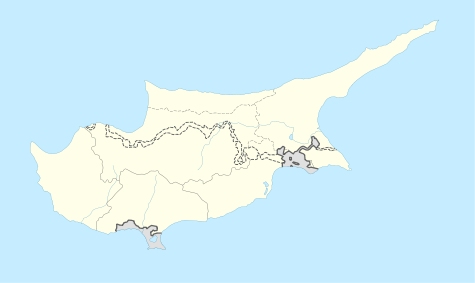 Anthoupolis Location in Cyprus | |
| Coordinates: 35°6′0″N 33°17′0″E / 35.10000°N 33.28333°ECoordinates: 35°6′0″N 33°17′0″E / 35.10000°N 33.28333°E | |
| Country |
|
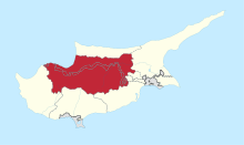
| District | Nicosia District |
| Municipality | Lakatamia |
| Population (2001)[1] | |
| • Total | 2,492 |
| Time zone | EET (UTC+2) |
| • Summer (DST) | EEST (UTC+3) |
Anthoupolis is a suburb south of Nicosia, capital city of the Republic of Cyprus. Anthoupolis is a rather new area which was created after the Turkish Invasion of 1974 to house refugees. The original refugee site is slowly abandoned and new houses and projects are being held to regenerate the area. The Greek name means Flower-City or in a more metaphorical sense flowering, expanding city.
The suburb is located next to the A9 highway exit towards Troodos mountain.
References
This article is issued from Wikipedia - version of the 5/5/2015. The text is available under the Creative Commons Attribution/Share Alike but additional terms may apply for the media files.