Arc Dome
| Arc Dome | |
|---|---|
 | |
| Highest point | |
| Elevation | 11,780 ft (3,591 m) NAVD 88[1] |
| Prominence | 5,213 ft (1,589 m) [2] |
| Listing |
|
| Coordinates | 38°49′58″N 117°21′11″W / 38.832665383°N 117.353037492°WCoordinates: 38°49′58″N 117°21′11″W / 38.832665383°N 117.353037492°W [1] |
| Geography | |
 Arc Dome Nevada, U.S. | |
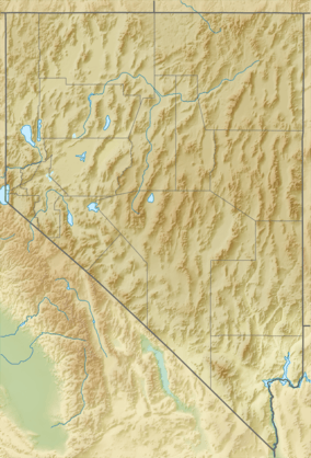
| Location | Nye County, Nevada, U.S. |
| Parent range | Toiyabe Range |
| Topo map | USGS Arc Dome |
| Climbing | |
| Easiest route | Hike along the North ridge, class 1 |
Arc Dome is the highest mountain of the Toiyabe Range in northwestern Nye County, Nevada, United States. It is the thirteenth-highest mountain in the state.[5] Arc Dome also ranks as the second-most topographically prominent peak in Nye County and the eighth-most prominent peak in the state.[6] The peak is located about 53 miles (85 km) north of the community of Tonopah, within the Arc Dome Wilderness of the Humboldt-Toiyabe National Forest.
Arc Dome is sometimes confused with Toiyabe Dome, but these are separate peaks. Toiyabe Dome at 11,361 feet (3,463 m) is about 5 miles (8.0 km) southeast of Arc Dome, above the small community of Carvers, Nevada.[7]
.jpg)
Arc Dome at sunset from Cow Canyon Trailhead
See also
References
- 1 2 "Toiyabe Dome Reset". NGS data sheet. U.S. National Geodetic Survey. Retrieved 2008-04-03.
- ↑ "Arc Dome, Nevada". Peakbagger.com. Retrieved 2008-04-03.
- ↑ "Desert Peaks Section List" (PDF). Angeles Chapter, Sierra Club.
- ↑ "Great Basin Peaks List". Toiyabe Chapter, Sierra Club.
- ↑ "Nevada 11,000-foot Peaks". Peakbagger.com. Retrieved 2014-10-22.
- ↑ "Nevada Peaks with 2000 feet of Prominence". Peakbagger.com. Retrieved 2014-10-23.
- ↑ "Toiyabe Dome". SummitPost.org. Retrieved 2011-05-15.
External links
- "Arc Dome". Geographic Names Information System. United States Geological Survey. Retrieved 2008-04-03.
- "Arc Dome". SummitPost.org. Retrieved 2011-05-15.
This article is issued from Wikipedia - version of the 10/17/2016. The text is available under the Creative Commons Attribution/Share Alike but additional terms may apply for the media files.