Beledanga
| Beledanga বেলেডাঙ্গা | |
|---|---|
| Village | |
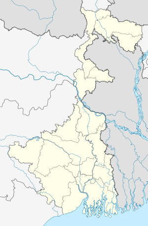 Beledanga  Beledanga Location in West Bengal, India | |
| Coordinates: 22°41′43″N 88°16′19″E / 22.6952°N 88.2719°ECoordinates: 22°41′43″N 88°16′19″E / 22.6952°N 88.2719°E | |
| Country |
|
| State | West Bengal |
| District | Hooghly |
| Government | |
| • Body | Gram panchayat |
| Population (2011) | |
| • Total | 3,777 |
| Languages | |
| • Official | Bengali, English |
| Time zone | IST (UTC+5:30) |
| Vehicle registration | WB |
| Lok Sabha constituency | Serampore |
| Vidhan Sabha constituency | Chanditala |
| Website |
wb |
Beledanga (Bengali: বেলেডাঙ্গা ) is a village in Chanditalal–II community development block of Srirampore subdivision in Hooghly District in the Indian state of West Bengal.[1]
Geography
Beledanga is located at 22°41′43″N 88°16′19″E / 22.6952°N 88.2719°E . It is located in the Chanditall–II community development block under the Srirampore subdivision of the Hooghly district.Chanditala police station serves this Village.
Roads and transportation
Nearest railway station is Gobra at Howrah-Bardhaman chord Kolkata Suburban Railway .
References
- ↑ "Mouza Information". Land & Land Reforms Department, Government of West Bengal.
This article is issued from Wikipedia - version of the 10/17/2016. The text is available under the Creative Commons Attribution/Share Alike but additional terms may apply for the media files.