Kalyanbati
| Kalyanbati কল্যানবাঢী | |
|---|---|
| Village | |
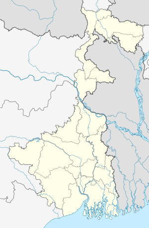 Kalyanbati  Kalyanbati Location in West Bengal, India | |
| Coordinates: 22°44′01″N 88°09′11″E / 22.7334801°N 88.15311°ECoordinates: 22°44′01″N 88°09′11″E / 22.7334801°N 88.15311°E | |
| Country |
|
| State | West Bengal |
| District | Hooghly |
| Government | |
| • Type | Panchayati raj (India) |
| • Body | Gram panchayat |
| Population (2011) | |
| • Total | 1,217 |
| Languages | |
| • Official | Bengali, English |
| Time zone | IST (UTC+5:30) |
| Vehicle registration | WB |
| Lok Sabha constituency | Serampore |
| Vidhan Sabha constituency | Chanditala |
| Website |
wb |
Kalyanbati (Bengali: কল্যানবাঢী) is a village in Chanditalal–I community development block of Srirampore subdivision in Hooghly District in the Indian state of West Bengal.[1]
Geography
Kalyanbati is located at: 22°44′01″N 88°09′11″E / 22.7334801°N 88.15311°E
References
- ↑ "banglarbhumi.gov.in". WEST BENGAL ->HUGLI(হুগলী) ->CHANDITALA-I (চণ্ডীতলা-১) Mouza Information.
This article is issued from Wikipedia - version of the 10/18/2016. The text is available under the Creative Commons Attribution/Share Alike but additional terms may apply for the media files.