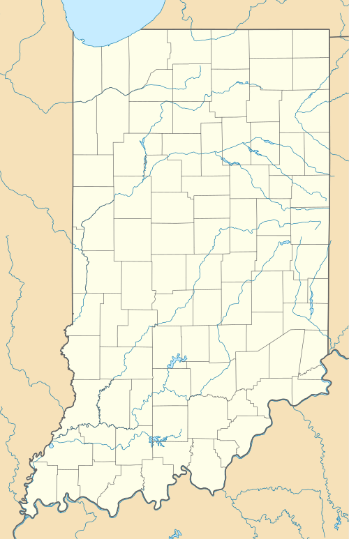
Commiskey, Indiana
| Commiskey, Indiana | |
|---|---|
| Unincorporated community | |
 Commiskey, Indiana  Commiskey, Indiana | |
| Coordinates: 38°51′34″N 85°38′44″W / 38.85944°N 85.64556°WCoordinates: 38°51′34″N 85°38′44″W / 38.85944°N 85.64556°W | |
| Country | United States |
| State | Indiana |
| County | Jennings |
| Township | Montgomery |
| Elevation | 696 ft (212 m) |
| ZIP code | 47227 |
| GNIS feature ID | 432832[1] |
Commiskey is an unincorporated community in central Montgomery Township, Jennings County, Indiana, United States. It lies along local roads just west of State Road 3, south of the town of Vernon, the county seat of Jennings County.[2] Its elevation is 696 feet (212 m), and it is located at 38°51′34″N 85°38′44″W / 38.85944°N 85.64556°W (38.8595005, -85.6455220).[3] Although Commiskey is unincorporated, it has a post office, with the ZIP code of 47227.[4]
Its biggest business is Stream Cliff Farm.
History
Commiskey was platted in 1870.[5] A post office was opened in Commiskey in 1870, and remains in operation.[6]
References
- ↑ "Commiskey, Indiana". Geographic Names Information System. United States Geological Survey. Retrieved 2009-10-10.
- ↑ DeLorme. Indiana Atlas & Gazetteer. 3rd ed. Yarmouth: DeLorme, 2004, p. 52. ISBN 0-89933-319-2.
- ↑ Geographic Names Information System Feature Detail Report, Geographic Names Information System, 1979-02-14. Accessed 2008-06-01.
- ↑ Zip Code Lookup
- ↑ Baker, Ronald L. (October 1995). From Needmore to Prosperity: Hoosier Place Names in Folklore and History. Indiana University Press. p. 101. ISBN 978-0-253-32866-3.
This village was platted on February 10, 1870...
- ↑ "Jennings County". Jim Forte Postal History. Archived from the original on 9 November 2014. Retrieved 9 November 2014.
This article is issued from Wikipedia - version of the 11/28/2016. The text is available under the Creative Commons Attribution/Share Alike but additional terms may apply for the media files.