Crestwood, Portland, Oregon
| Crestwood | |
|---|---|
| Neighborhood | |
 Crestwood | |
|
Coordinates: 45°27′17″N 122°43′35″W / 45.45472°N 122.72625°WCoordinates: 45°27′17″N 122°43′35″W / 45.45472°N 122.72625°W PDF map | |
| Country | United States |
| State | Oregon |
| City | Portland |
| Government | |
| • Association | Crestwood Neighborhood Association |
| • Coalition | Southwest Neighborhoods, Inc. |
| Area | |
| • Total | 0.31 sq mi (0.79 km2) |
| Population (2000)[1] | |
| • Total | 980 |
| • Density | 3,210/sq mi (1,241/km2) |
| Housing[1] | |
| • No. of households | 427 |
| • Occupancy rate | 97% occupied |
| • % households renting | 18% renting |
| • Avg. household size | 2.30 persons |
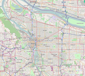
Crestwood is a neighborhood in the Southwest section of Portland, Oregon located between SW 45th Ave. and Barbur Blvd., adjacent to Multnomah and Ashcreek. Woods Memorial Natural Area is located here, a swath of urban wilderness visited on occasion by elk.
-

A home in Crestwood -

Woods Memorial Natural Area
References
See also
This article is issued from Wikipedia - version of the 9/4/2016. The text is available under the Creative Commons Attribution/Share Alike but additional terms may apply for the media files.