Herzele
| Herzele | |||
|---|---|---|---|
| Municipality | |||
|
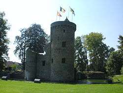
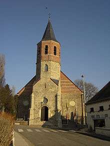
Herzele Castle | |||
| |||
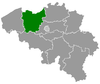
 Herzele Location in Belgium | |||
|
Location of Herzele in East Flanders 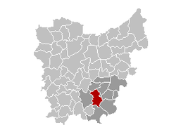 | |||
| Coordinates: 50°53′N 03°53′E / 50.883°N 3.883°ECoordinates: 50°53′N 03°53′E / 50.883°N 3.883°E | |||
| Country | Belgium | ||
| Community | Flemish Community | ||
| Region | Flemish Region | ||
| Province | East Flanders | ||
| Arrondissement | Aalst | ||
| Government | |||
| • Mayor | Johan Van Tittelboom (VLD) | ||
| • Governing party/ies | VLD, SP.A | ||
| Area | |||
| • Total | 47.40 km2 (18.30 sq mi) | ||
| Population (1 January 2016)[1] | |||
| • Total | 17,550 | ||
| • Density | 370/km2 (960/sq mi) | ||
| Postal codes | 9550-9552 | ||
| Area codes | 053, 054, 09 | ||
| Website | www.herzele.be | ||


Herzele (Dutch pronunciation: [ˈɦɛrzeːlə]) is a municipality located in the Belgian province of East Flanders in the Denderstreek. The municipality comprises the towns of Borsbeke, Herzele proper, Hillegem, Ressegem, Sint-Antelinks, Sint-Lievens-Esse, Steenhuize-Wijnhuize and Woubrechtegem. On January 1, 2006, Herzele had a total population of 16,709. The total area is 47.40 km² which gives a population density of 353 inhabitants per km². The current mayor of Herzele is Johan Van Tittelboom, from the Open Flemish Liberals and Democrats party.
Herzele is crossed by two brooks, the Molenbeek in Borsbeke, Herzele, Ressegem, and Hillegem, as well as the Molenbeek-Ter Erpenbeek in Herzele, Sint-Lievens-Esse, Woubrechtegem, and Ressegem.
References
- ↑ Population per municipality as of 1 January 2016 (XLS; 397 KB)
External links
 Media related to Herzele at Wikimedia Commons
- Official website (Dutch)
 |
Sint-Lievens-Houtem | Erpe-Mere | | |
| Zottegem | |
Haaltert Ninove | ||
| ||||
| | ||||
| Lierde | Geraardsbergen |