Lierde
| Lierde | |||
|---|---|---|---|
| Municipality | |||
|
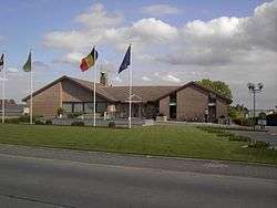
Lierde town hall | |||
| |||
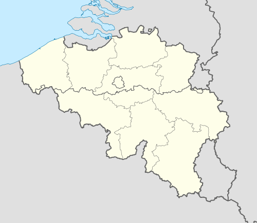 Lierde Location in Belgium | |||
|
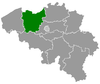
Location of Lierde in East Flanders .png) | |||
| Coordinates: 50°48′N 03°49′E / 50.800°N 3.817°ECoordinates: 50°48′N 03°49′E / 50.800°N 3.817°E | |||
| Country | Belgium | ||
| Community | Flemish Community | ||
| Region | Flemish Region | ||
| Province | East Flanders | ||
| Arrondissement | Oudenaarde | ||
| Government | |||
| • Mayor | Marc De Brakeleer (LIERDE) | ||
| • Governing party/ies | LIERDE, CL | ||
| Area | |||
| • Total | 26.13 km2 (10.09 sq mi) | ||
| Population (1 January 2016)[1] | |||
| • Total | 6,550 | ||
| • Density | 250/km2 (650/sq mi) | ||
| Postal codes | 9570-9571-9572 | ||
| Area codes | 055-054 | ||
| Website | www.lierde.be | ||

Lierde (Dutch pronunciation: [ˈliːrdə]) is a municipality located in the Flemish Ardennes, the hilly southern part of the Belgian province of East Flanders in the Denderstreek. The municipality comprises the towns of Deftinge, Hemelveerdegem, Sint-Maria-Lierde and Sint-Martens-Lierde. On January 1, 2006, Lierde had a total population of 6,399. The total area is 26.13 km² which gives a population density of 245 inhabitants per km². Lierde borders to Brakel, Zottegem, Herzele and Geraardsbergen. Lierde is known for the Ronde van vlaanderen, a bike race where cyclists climb all the hills of the Flemish Ardennes.
References
- ↑ Population per municipality as of 1 January 2016 (XLS; 397 KB)
External links
 Media related to Lierde at Wikimedia Commons
- Official website (Dutch)
 |
Zottegem | Herzele | | |
| Brakel | |
Geraardsbergen | ||
| ||||
| | ||||
| Geraardsbergen |
This article is issued from Wikipedia - version of the 11/30/2016. The text is available under the Creative Commons Attribution/Share Alike but additional terms may apply for the media files.