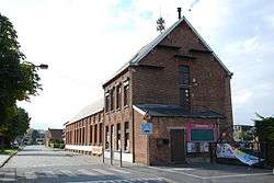
Sint-Gillis-Waas
| Sint-Gillis-Waas | |||
|---|---|---|---|
| Municipality | |||
 | |||
| |||
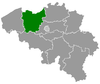
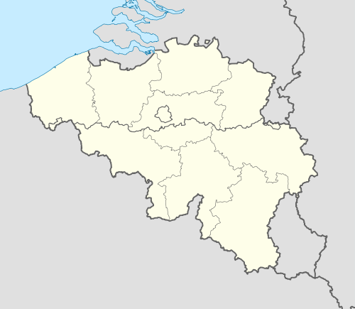 Sint-Gillis-Waas Location in Belgium | |||
|
Location of Sint-Gillis-Waas in East Flanders 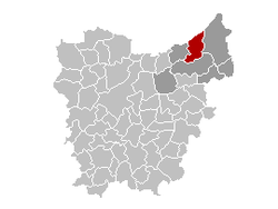 | |||
| Coordinates: 51°13′N 04°07′E / 51.217°N 4.117°ECoordinates: 51°13′N 04°07′E / 51.217°N 4.117°E | |||
| Country | Belgium | ||
| Community | Flemish Community | ||
| Region | Flemish Region | ||
| Province | East Flanders | ||
| Arrondissement | Sint-Niklaas | ||
| Government | |||
| • Mayor | Remi Audenaert (CD&V) | ||
| • Governing party/ies | CD&V | ||
| Area | |||
| • Total | 54.98 km2 (21.23 sq mi) | ||
| Population (1 January 2016)[1] | |||
| • Total | 19,204 | ||
| • Density | 350/km2 (900/sq mi) | ||
| Postal codes | 9170 | ||
| Area codes | 03 | ||
| Website | www.sint-gillis-waas.be | ||

Sint-Gillis-Waas (Dutch pronunciation: [sɪnt ˌxɪlɪs ˈʋaːs])[2] (French: Saint-Gilles-Waes) is a municipality located in the Belgian province of East Flanders. The municipality comprises the towns of De Klinge, Meerdonk, Sint-Gillis-Waas proper and Sint-Pauwels. On January 1, 2006, Sint-Gillis-Waas had a total population of 17,908. The total area is 54.98 km² which gives a population density of 326 inhabitants per km².
References
- ↑ Population per municipality as of 1 January 2016 (XLS; 397 KB)
- ↑ Every word in isolation: [sɪnt ˌɣɪlɪs ˈʋaːs].
External links
 Media related to Sint-Gillis-Waas at Wikimedia Commons
- Official website (Dutch)
 |
Hulst (NL-ZE) | | ||
| Stekene | |
Beveren | ||
| ||||
| | ||||
| Sint-Niklaas |
This article is issued from Wikipedia - version of the 12/1/2016. The text is available under the Creative Commons Attribution/Share Alike but additional terms may apply for the media files.